
2026
Comparably’s Best Company Outlook
* Providing engineering services in these locations through SWCA Environmental Consulting & Engineering, Inc., an affiliate of SWCA.

From the experts we hire, to the clients we partner with, our greatest opportunity for success lies in our ability to bring the best team together for every project.
That’s why:
At SWCA, sustainability means balancing humanity’s social, economic, and environmental needs to provide a healthy planet for future generations.
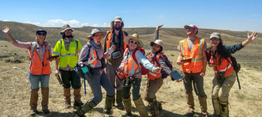
SWCA employs smart, talented, problem-solvers dedicated to our purpose of preserving natural and cultural resources for tomorrow while enabling projects that benefit people today.

At SWCA, you’re not just an employee. You’re an owner. Everyone you work with has a stake in your success, so your hard work pays off – for the clients, for the company, and for your retirement goals.
Reconnecting to Nature: The Palo Colorado Road Compliance Project

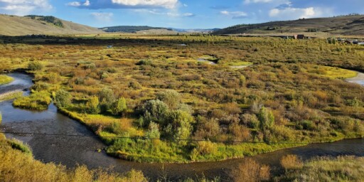
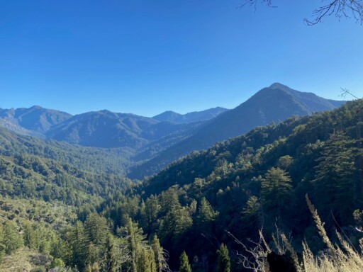
Located in the Big Sur section of Monterey County, California, Palo Colorado Road stretches 7.4 miles from the state’s renowned Pacific Coast Highway to Bottcher’s Gap – an access point to Los Padres National Forest and Ventana Wilderness.
“The view from Bottcher’s Gap is stunning,” observes SWCA Environmental Consultants’ Senior Biologist Rebecca Doubledee. “We want to make sure it’s accessible to everyone.”
Unfortunately, access to this northern entrance into the Los Padres National Forest is currently limited. The upper portion of Palo Colorado Road, about 4.3 miles, has been closed since 2017 when a series of winter storms exacerbated damage from the previous year’s 132,000-acre Soberanes Fire. Destabilized by the loss of vegetation and changing soil conditions, pieces of the fire-scarred landscape slid down the mountainside, taking portions of the road with them.

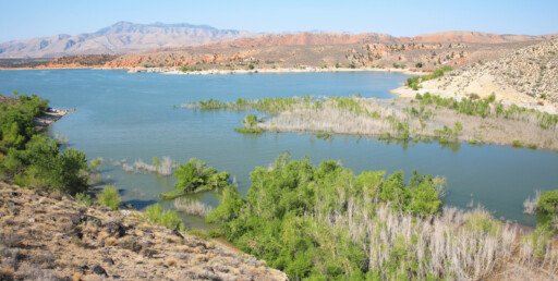
One of many spots where 2016-2017 storms washed out the road.
As the County of Monterey and its team, led by CONSOR Engineers, work to reopen the road, they enlisted the help of SWCA to conduct their environmental permitting. SWCA led the development of an Initial Studies and Mitigated Negative Declarations statement (ISMND). This evaluates the project’s potential environmental impacts and outlines strategies for mitigating them as required under the California Environmental Quality Act (CEQA). SWCA is also preparing permitting documents.
In this role, SWCA worked closely with CONSOR and the county to identify environmentally sensitive areas, like streams and wetlands, for the project to avoid.
“What makes this project especially challenging from an environmental compliance and permitting perspective is the length of the site,” says Doubledee. “There are 63 project locations where the design will replace culverts, repair damage from landslides, install retaining walls, and so on. Not only that, but over the course of 4.3 miles, the road transitions through a dozen or more distinct vegetation communities (Redwood Forest, California Bay Forest, Monterey Pine Stands, Coyote Brush Scrub, Manzanita-Chamise Chaparral, and more) and intersects with multiple regulatory jurisdictions.”
Relevant agencies include the United States Army Corps of Engineers (USACE), the California Coastal Commission (CCC), the California Department of Fish and Wildlife (CDFW), and the Regional Water Quality Control Board (RWQCB). Given the project’s origin in a series of natural disasters, the County of Monterey is also in communication with the Federal Emergency Management Agency (FEMA) and California’s Office of Emergency Services (OES).

Careful field work, including vegetation mapping, botanical surveys, and jurisdictional delineation, is an essential step in understanding the project’s environmental impact.
“The site is challenging because it’s so big with many different habitats,” says Senior Engineer Robert Ferguson at CONSOR Engineers, the firm leading the project’s design phase. “But SWCA’s Rebecca Doubledee managed to organize, sort, and group each site into larger sets to keep all the needs and mitigation strategies organized and logical.”
How did the SWCA team do it?
Good maps and consistent naming conventions.
“In a project like this, where you have a large site and teams of people from multiple organizations working on different sets of documents—engineering plans, environmental compliance documents, the county’s plans, funding applications, etc.—it’s easy to get your wires crossed,” says Doubledee. “That is why it was important for us to establish a consistent way of naming all 63 potential worksites. It keeps us all on the same page in meetings and between reports, avoiding confusion, and allowing us to confidently build on the work of previous deliverables.”
Good maps also provided an essential tool for managing the project. Drawing on careful field work and well-coordinated support from CONSOR and SWCA’s GIS (Geographic Information System) team, the project team created a series of maps to delineate the relevant jurisdictions and ecosystems that intersect with each project site. This work enabled the project team to clearly understand potential environmental impacts, compliance requirements, and permitting needs for each of the 63 sites.
These maps are also expediting permit applications. “There are 63 discrete locations for CEQA,” says Doubledee, “but, for permitting, only 19 of those have impacts on jurisdictional features. We’re breaking each of those sites out and cutting out unnecessary information, so each permit application is tailored to the relevant agency.”
The effort to reopen the Palo Colorado Road faces the perennial challenge for public projects: funding. The County of Monterey is ready to make a substantial investment in the road, but it needs to find additional funds from federal, state and other sources.
This is why SWCA, CONSOR, and the rest of the team are readying permit applications. The aim is to have all sites permitted and shovel-ready, so they are more competitive in the pursuit of grants and other funding opportunities.
The sooner the funding puzzle can be solved, the sooner this project can reconnect the community to the natural beauty at the end of the road.