


2025
Comparably’s Best Company Outlook
* Providing engineering services in these locations through SWCA Environmental Consulting & Engineering, Inc., an affiliate of SWCA.

From the experts we hire, to the clients we partner with, our greatest opportunity for success lies in our ability to bring the best team together for every project.
That’s why:
At SWCA, sustainability means balancing humanity’s social, economic, and environmental needs to provide a healthy planet for future generations.
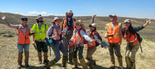
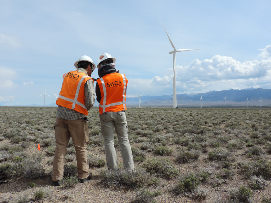
SWCA employs smart, talented, problem-solvers dedicated to our purpose of preserving natural and cultural resources for tomorrow while enabling projects that benefit people today.

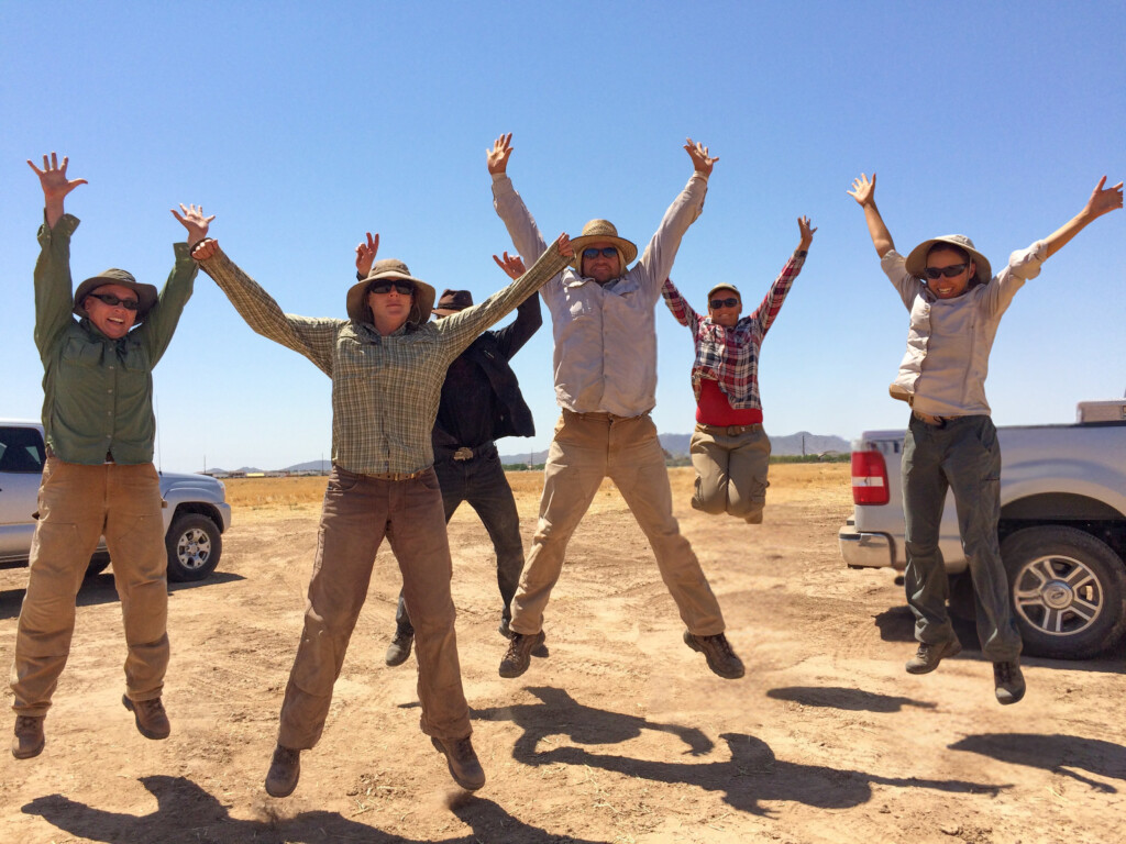
At SWCA, you’re not just an employee. You’re an owner. Everyone you work with has a stake in your success, so your hard work pays off – for the clients, for the company, and for your retirement goals.
Riparian Restoration: A GIS-Driven Approach to Repairing Massachusetts’s Ecosystems
Scott Fisher has 28 years of experience in ecological restoration. He is a restoration specialist, overseeing coastal and inland ecological restoration projects. Scott oversees projects requiring soil bioengineering installations for bank restoration projects, wetland design, mitigation and restoration projects and the control of invasive plant species through herbicide application or removal. Scott conducts site suitability assessments and oversees the installation of sediment and erosion control devices on construction projects and in the protection of rare species. Scott has managed golf course environmental design and restoration projects, pond restoration, and planting projects. He is also trained in stream restoration and applied fluvial geomorphology.

Vince is a content developer at SWCA, where he helps subject matter experts tell their stories. An engaging storyteller and translator of technical information, he loves communicating the significance of his colleagues’ work.


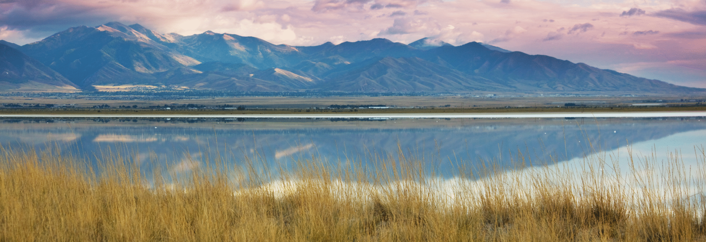
One of the oldest and most densely populated states in the U.S., Massachusetts’s long history of development has fundamentally reshaped its environment. While English settlers arrived in the early 17th Century, by the mid-1800s, approximately 80% of the Commonwealth ’s landscape had been cleared for agriculture.
The trend continues today. Under pressure from ongoing development, native and non-native pests, intense wind and ice storms, droughts, flooding, and other stresses , Massachusetts loses approximately 5,000 acres of forest each year.
Spearheaded by the Commonwealth’s Executive Office of Energy and Environmental Affairs (EEA), the Massachusetts Riparian Zone Restoration Program aims to reverse this trend by replanting trees and shrubs along degraded riverbanks, floodplains, and other waterside spaces across the state. Contributing to the Commonwealth’s goal of planting 16,100 new acres of urban and riparian tree cover by 2030, the program also aims to preserve coldwater and coolwater fisheries, increase biodiversity, improve stormwater management, filter runoff and pollution, mitigate riverbank erosion, provide urban cooling, manage invasive species, and increase carbon sequestration.
After an initial pilot program run by The Nature Conservancy and Land Stewardship, Inc., EEA enlisted SWCA Environmental Consultants to lead the project through its initial stages of construction. From developing a comprehensive inventory of potential restoration sites to landowner engagement to the development of ecosystem restoration design, permitting, and implementation at individual sites, SWCA is uniquely qualified to manage the process.
As Senior Director of SWCA’s Amherst Office, Scott Fisher, put it, “This project really showcases our collective experience and knowledge. Because we have all these experts on our team—landscape architects, ecological restoration specialists, habitat management experts, permitting specialists, top tier Geographic Information System (GIS) consultants, and more—we’ve been able to bridge the gaps in understanding that sometimes occur when a project is handed off between teams.”
“Having all the relevant experts in the room from the start, we’ve been able to anticipate the downstream consequences of decisions that are made early in the project,” Fisher says.
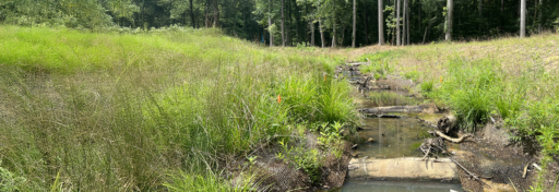
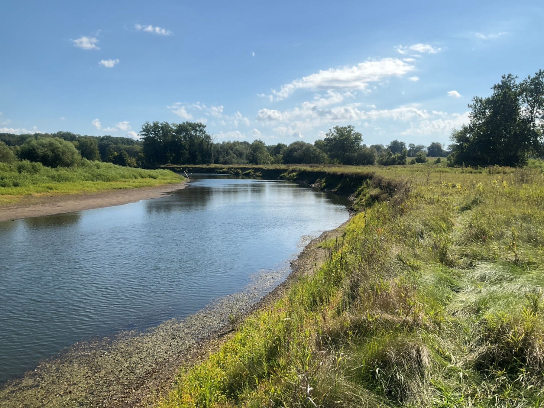
Disturbed sites offer opportunities to create healthier riparian ecosystems.
But where can a project like this even start? This problem is not only hundreds of years in the making, but its footprint stretches across the whole state.
Setting Priorities. The project team’s Geospatial Scientist, Lori Johnson, identified an initial set of 32,746 sites that met the project’s basic criteria:
“GIS analysis not only helped us develop a comprehensive inventory of potential sites,” Johnson says, “but it helped us turn it into a manageable list of candidates. Using existing environmental data sets, the team developed a way of automatically scoring each site based on its potential to meet the client’s primary and secondary project goals.” The resulting scores enabled the larger project team to use ArcGIS Online to conduct manual site evaluations of a more limited set, accounting for topography, accessibility, landowner issues, and other considerations that might affect the project’s success.
In consultation with the client, SWCA then selected a series of high priority sites and began reaching out to their landowners . Initial landowner engagement would be followed by site visits, the development of restoration plans, permitting, and finally, planting at individual sites.
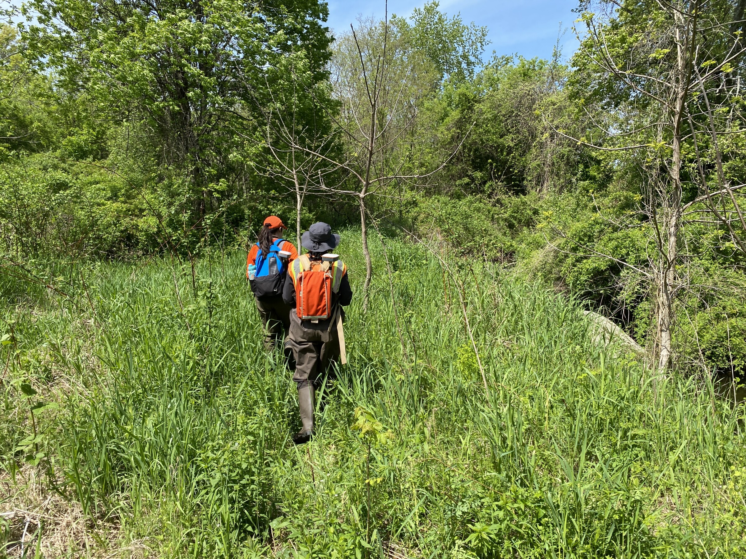
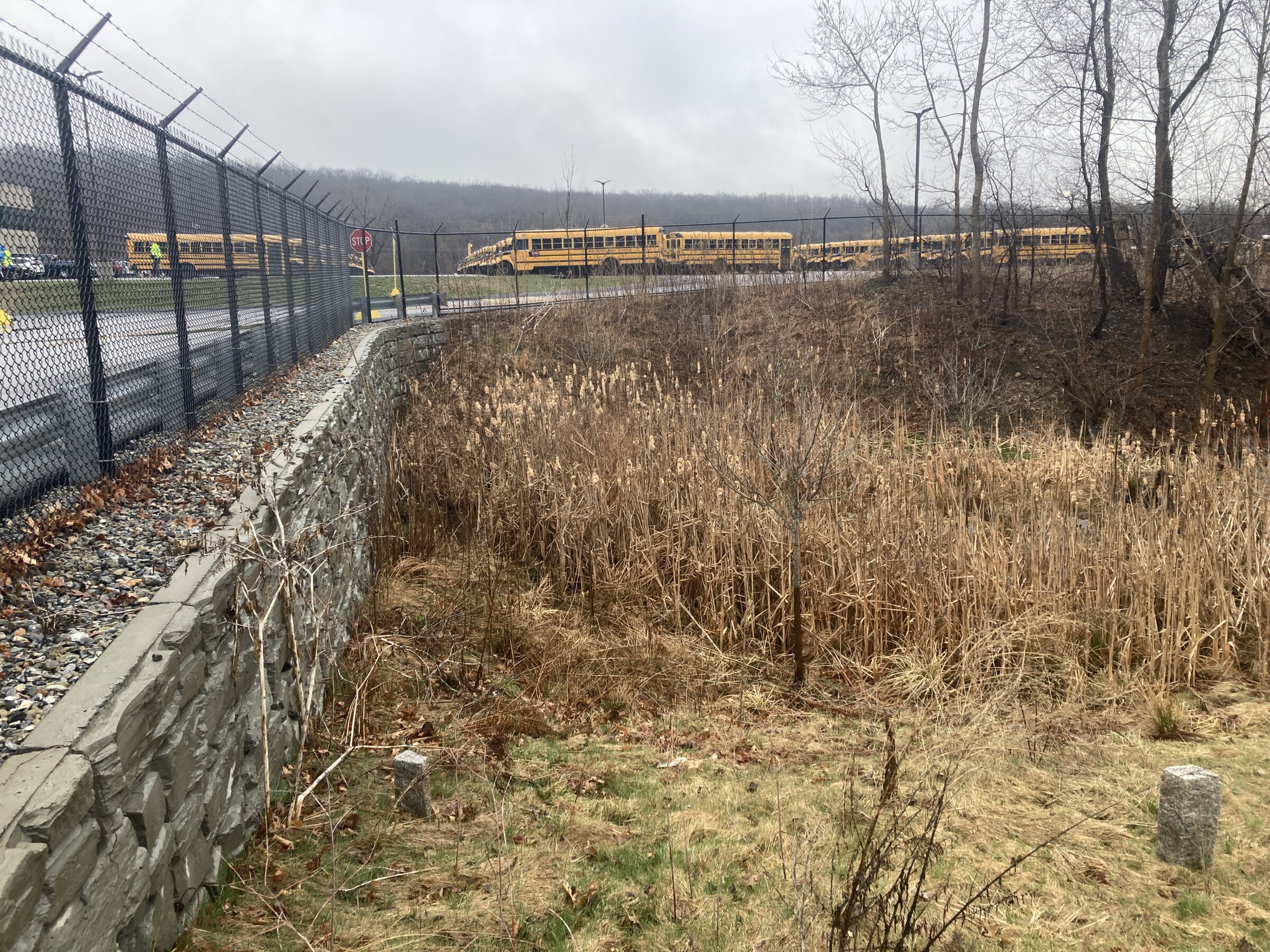
SWCA staff conducted field inspections of potential sites to determine restoration possibilities.
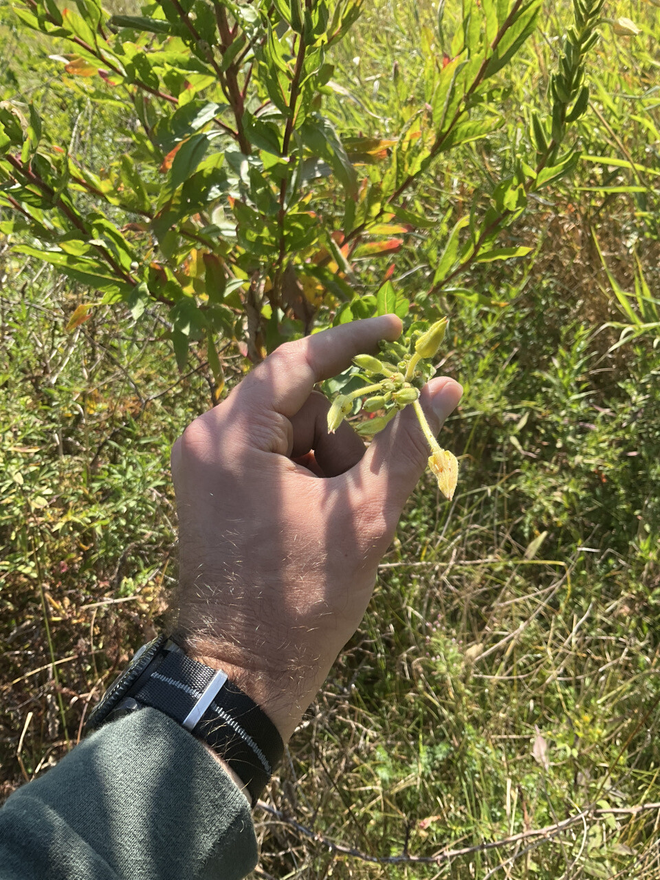
Site visits document soil quality and the presence of non-native and invasive species while looking for opportunities to boost the health of the ecosystem.
The movement from site selection to engagement to design and implementation is anything but straightforward.
“Community and landowner engagement requires us to figure out if the project aligns well with the values, goals, resources, and concerns of potential partners,” Fisher says. “Sometimes we will find that a municipality or a land trust looks like a great partner, but then it becomes apparent that they don’t have the staffing needed to engage with the project consistently or they have additional concerns that the project can’t help them address.”
There are also times when the process is speeding along, but then something comes up for the landowner, and they stop engaging.
“We really have to be strategic about the number of landowners and sites that we engage at any given time,” Fisher says. “We want to get as many sites planted as possible within the initial project window, but being good stewards of the Commonwealth’s resources requires that we take on a manageable number.”
After a lot of preliminary work, SWCA’s team is just about ready to start planting. “We have three sites that are fully designed, which we are currently shepherding through the permitting and regulatory process,” Fisher says.
These include:
Discussions have also been initiated with the landowners—all land trusts or municipalities—on another six sites. The hope is to have three to five sites replanted before the end of the project’s initial, three-year window (June 2027).
“Reestablishing riparian floodplain forests takes time,” Fisher says. “We need to think 30, 40, 50 years into the future… that is where you really start to see the payoff of a project like this. But the next two years will be critical to demonstrating the program’s potential to bolster the future health of Massachusetts’s riverside forests.”