

2025
Comparably’s Best Company Outlook
* Providing engineering services in these locations through SWCA Environmental Consulting & Engineering, Inc., an affiliate of SWCA.

From the experts we hire, to the clients we partner with, our greatest opportunity for success lies in our ability to bring the best team together for every project.
That’s why:
At SWCA, sustainability means balancing humanity’s social, economic, and environmental needs to provide a healthy planet for future generations.
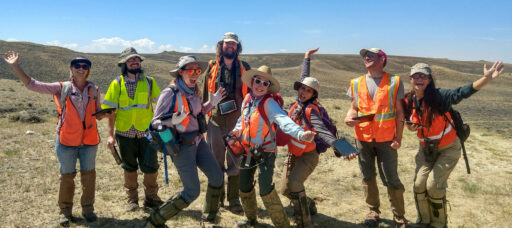
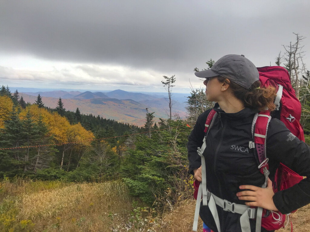
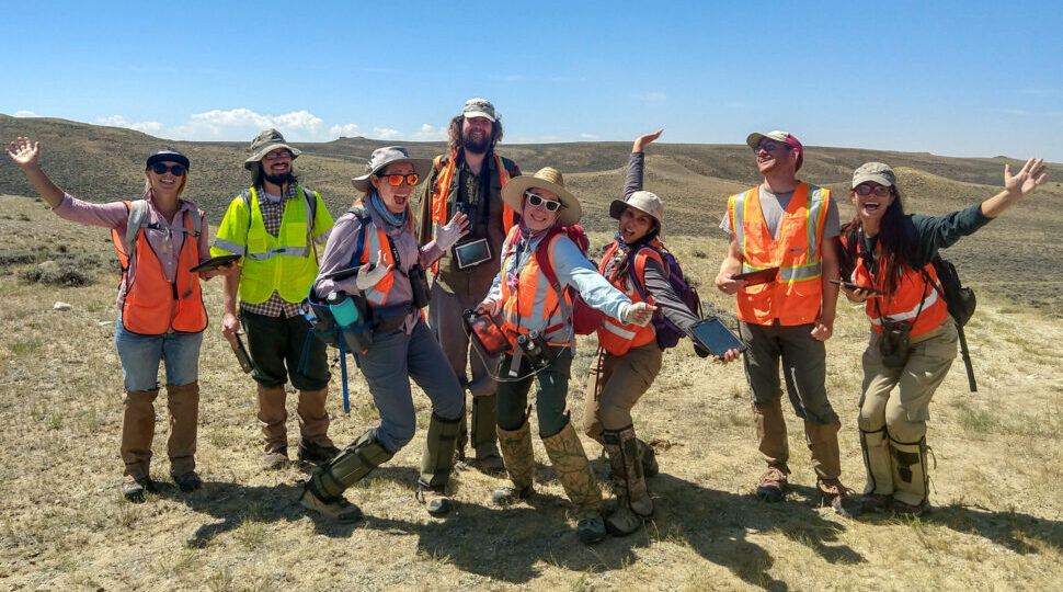
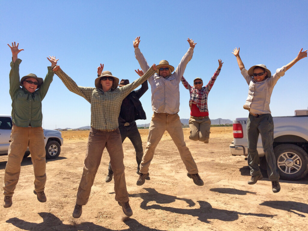
SWCA employs smart, talented, problem-solvers dedicated to our purpose of preserving natural and cultural resources for tomorrow while enabling projects that benefit people today.

At SWCA, you’re not just an employee. You’re an owner. Everyone you work with has a stake in your success, so your hard work pays off – for the clients, for the company, and for your retirement goals.
Land Services
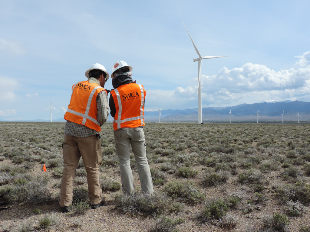
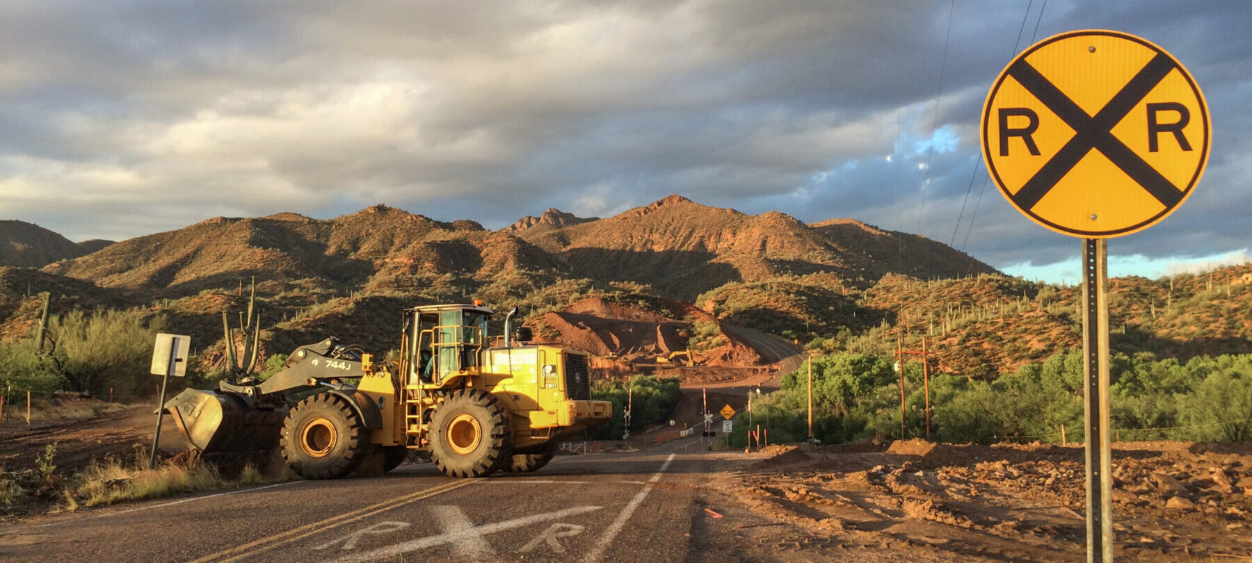
Grounded in precision and guided by data, SWCA delivers comprehensive land services for every project phase.
For questions or further information, please fill out the form below.


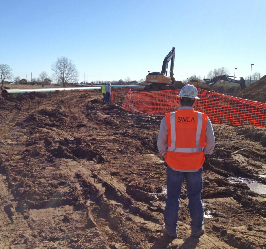
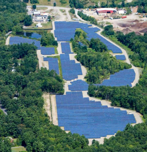
SWCA’s land services provide seamless support across all phases of a project, from initial planning and site selection to survey, development, and implementation. By combining cutting-edge technology, science-based solutions, and local expertise, we deliver reliable results tailored to each client’s unique needs. Whether trying to find a site with nuanced requirements, navigating complex regulations, engaging with stakeholders, or ensuring environmental compliance, our team is dedicated to bridging gaps and driving projects forward efficiently and transparently.

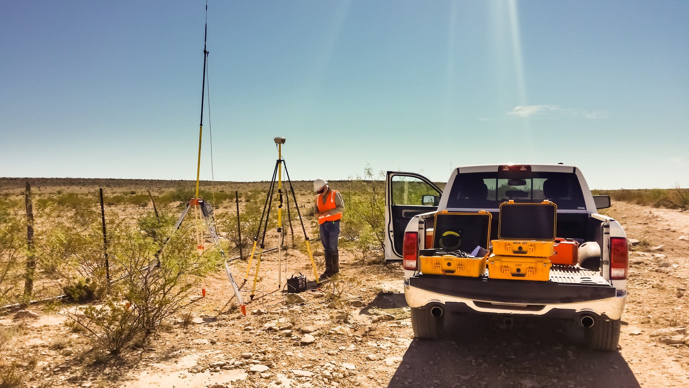

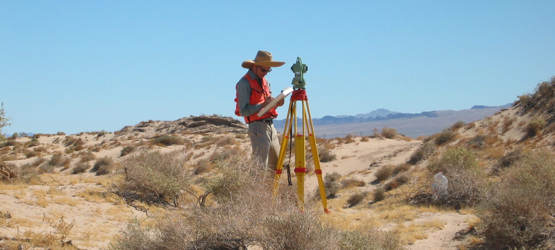
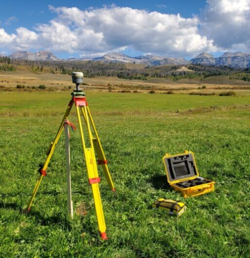
Our land survey experts provide clients with accurate and reliable data to support projects from concept to completion. Using advanced technologies such as GPS, LiDAR, aerial drones, and 3D scanning, our experienced surveyors deliver precise measurements and mapping tailored to project needs. From boundary and topographic surveys to construction staking and utility mapping, we help clients navigate complex challenges with efficiency and expertise. By integrating environmental considerations and maintaining a focus on safety, timelines, and budgets, SWCA ensures that every survey contributes to the success of the overall project.
Built from the ground up as a land siting tool, SWCA’s in house model utilizes dynamic datasets, statistical models, and custom written software to identify sites missed by other tools on the market. With its modularity, SWCA is also able to utilize its model to provide site assessments for client-identified sites, giving rapid insights into constructability and high-level constraints.
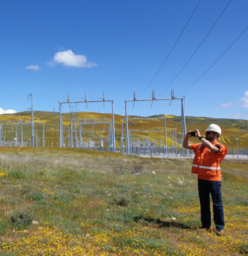
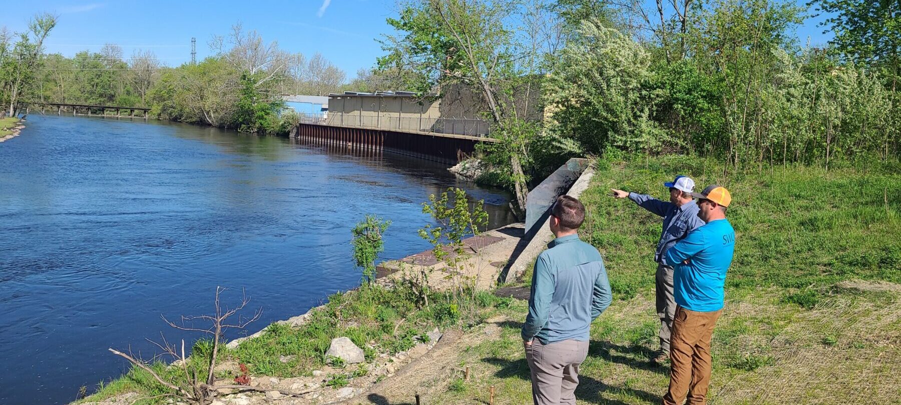
SWCA’s land agents believe in a community-focused approach to site acquisition. By serving as an extension of our clients’ team, we guide and represent them throughout the project development process, building trust and bridging the gap between client needs and landowner concerns, stakeholder requirements, and community interests. With an understanding of local markets and professional expertise, we ensure project needs are met while fostering education, open communication, and transparency within surrounding communities.
Lucas manages SWCA’s land services team who provides site identification and acquisition services to clients. He specializes in managing landowner and client relationships, co-developed SWCA’s renewables siting model, and holds a national outlook on early-stage development opportunities.

Andrew has more than 33 years of experience in applied surveying and AutoCAD design, including 23 years working on river projects. Andrew oversees SWCA land surveying, including traditional land surveying tasks and hydrographic surveying to support river restoration and fish passage projects.

Josh is a registered Professional Land Surveyor in the state of Montana. He leads field surveys for stream and wetland projects in Montana, Idaho and Oregon. He is proficient using survey-grade GPS and total station, along with single beam sonar for bathymetric surveys. He also assists SWCA’s design team with the production of plan-set drawings. Josh is a licensed FAA commercial remote pilot and utilizes UAS systems to acquire pre- and post-restoration project aerial photos to document site conditions. He leads the monitoring division of instream and groundwater monitoring of various projects throughout the region, including field implementation of data loggers, data download, and data processing.

Subscribe to The Wire, SWCA’s quarterly newsletter that delivers the latest industry news, important regulatory updates, local events, and more straight to your inbox.
