
2026
Comparably’s Best Company Outlook
* Providing engineering services in these locations through SWCA Environmental Consulting & Engineering, Inc., an affiliate of SWCA.


From the experts we hire, to the clients we partner with, our greatest opportunity for success lies in our ability to bring the best team together for every project.
That’s why:
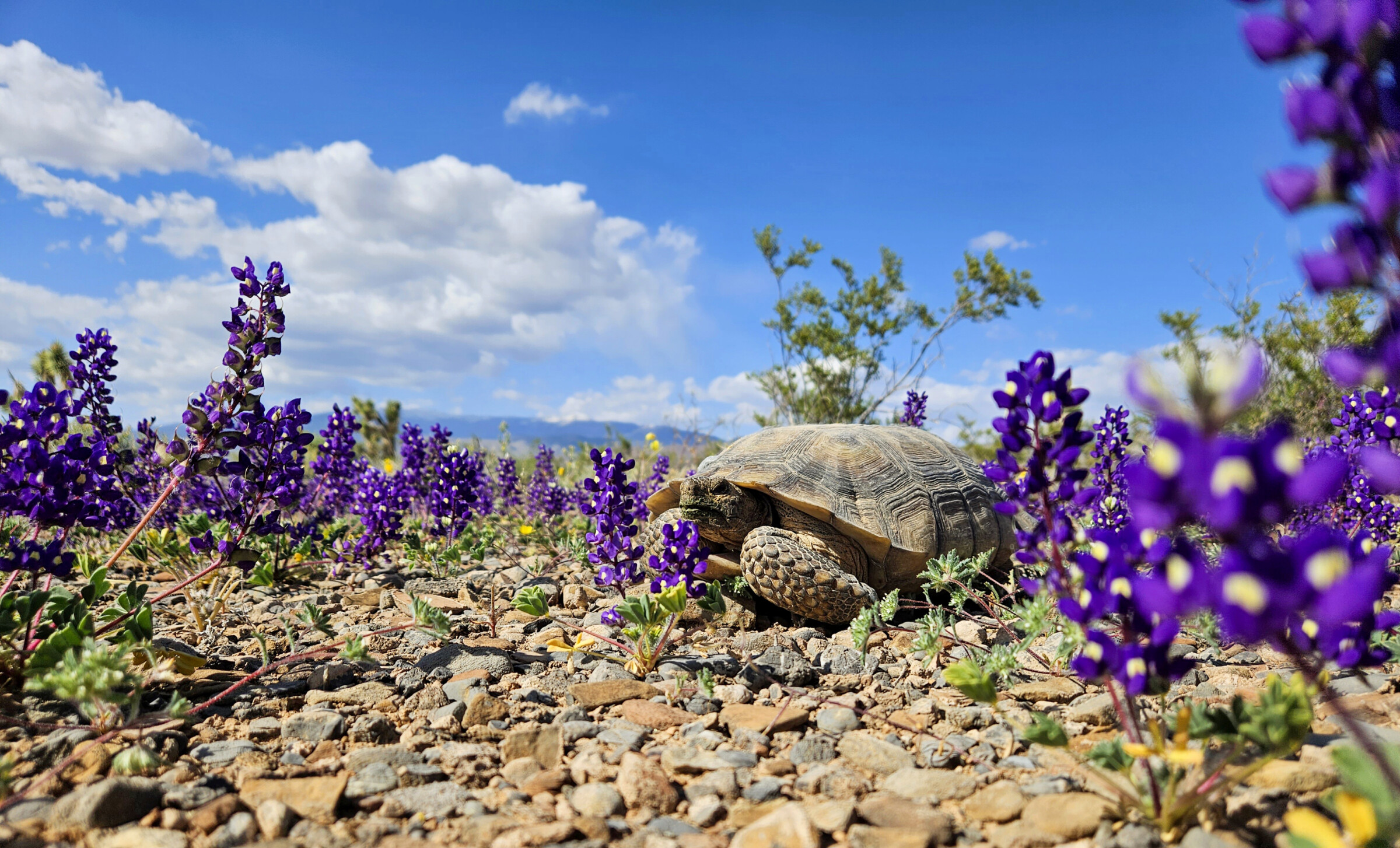
At SWCA, sustainability means balancing humanity’s social, economic, and environmental needs to provide a healthy planet for future generations.
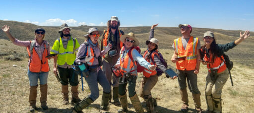
SWCA employs smart, talented, problem-solvers dedicated to our purpose of preserving natural and cultural resources for tomorrow while enabling projects that benefit people today.
At SWCA, you’re not just an employee. You’re an owner. Everyone you work with has a stake in your success, so your hard work pays off – for the clients, for the company, and for your retirement goals.
Exploring Careers in GIS: How Different Paths Lead to Geospatial Work at SWCA
Adrian Hernandez is a Senior Marketing Content Developer for Employer Brand who believes in the power of storytelling to drive authentic connection. With a dynamic background that spans 15 years growing a luxury event-focused business and 11 years as a published fiction author, she brings a highly creative, audience-first mindset to SWCA. Drawing on her diverse experience in change management communications and independent marketing, she excels at finding the heart of a story and sharing it in a captivating manner. At SWCA, Adrian channels this unique expertise to craft authentic stories that attract and retain top talent, highlighting what makes the company an exceptional place to work through compelling, people-first marketing.


Ask someone working in geographic information systems (GIS) how they found their way into the field, and you typically hear a different story each time.
For some, it starts with a class that changes the way they think about maps and data. For others, GIS becomes a way to answer questions they’re already exploring through wildlife biology, conservation, environmental science or another field.
That variety is part of what makes a career in GIS so interesting. It’s also why GIS plays an important role across SWCA.
To mark GIS Day, three SWCA employees share their experiences with GIS, highlighting the many ways to enter the field and build a geospatial career.
Lori Johnson’s path into GIS began in conservation and wildlife biology, where she started using spatial technologies. Today, that experience connects GIS with natural resources, wetland delineations, wildlife, habitat mapping for threatened and endangered species and conservation. What Lori enjoys most is the ability to use GIS to answer spatial questions while enjoying the artistic side of the program.
Gabriela Waesch found a different starting point: Cartography 101 at the University of Cincinnati. From there, she moved through roles as a cartographer and GIS analyst and eventually became a geospatial scientist. Gabriela’s specialties today include cartography, suitability analysis, drone work, and Experience Builder.
Their experiences are a reminder that there isn’t a single formula for getting started.
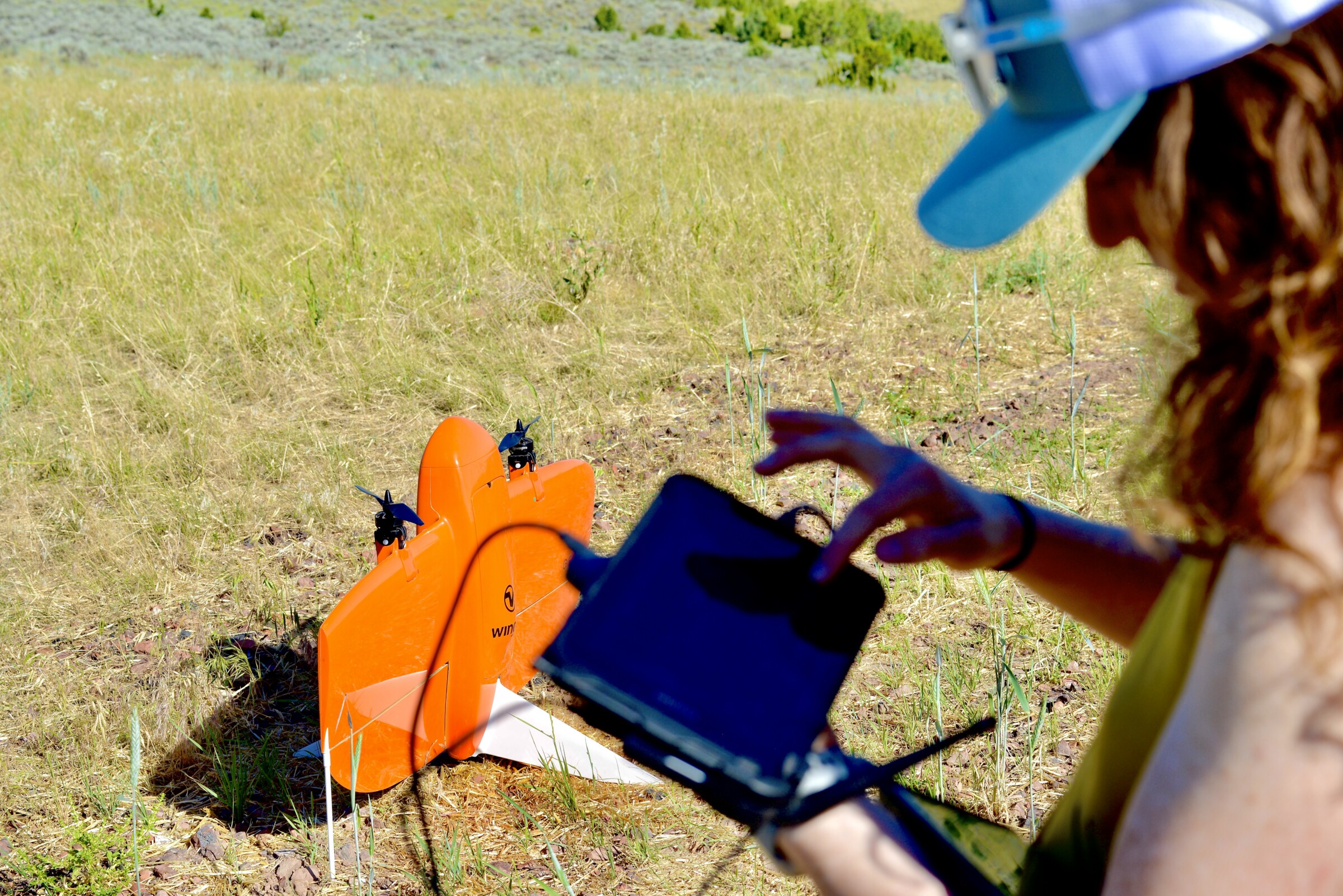
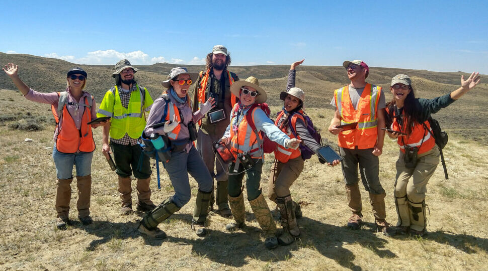
SWCA staff using a drone to survey a large project near Gillett, WY.
One of the strengths of GIS is just how many ways it can be applied.
Savannah Walters’s work on SWCA’s Fire GIS Team, for example, connects geospatial expertise with fire, forestry, Interagency Fuel Treatment Decision Support System (IFTDSS), fire modeling, accessible mapping, and online content. Savannah’s specialties also include GIS web applications and tools such as Hub Sites, StoryMaps, Experience Builder, Instant Apps, and Dashboards.
Put these three careers side by side, and GIS starts to look less like one specific job and more like a set of skills that can be applied across environmental consulting.
That creates room to explore. Someone interested in conservation can use spatial data to investigate questions about wildlife or natural resources. Another person might build interactive tools that help people understand complex information. Others may apply GIS to wildfire modeling, field data, or technologies that continue to change how teams approach environmental work.
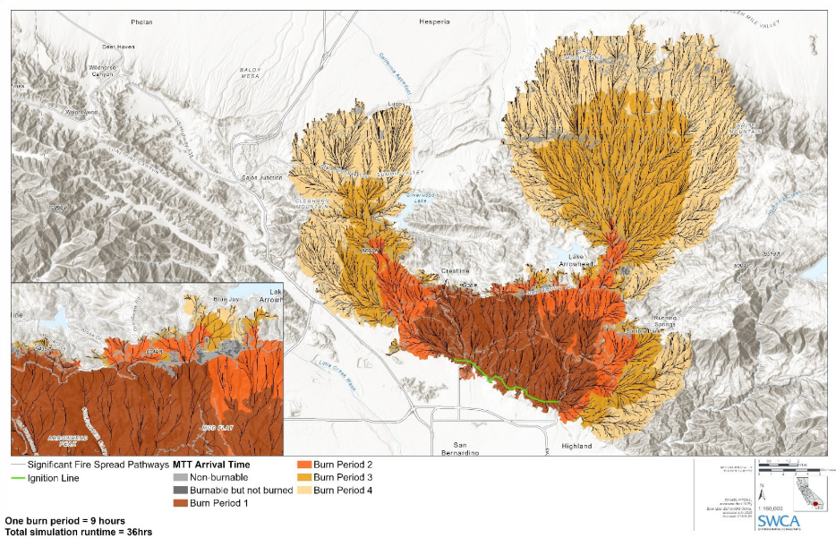
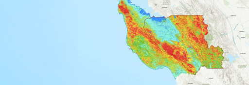
Wildfire Scenario Modeling results showing arrival times and significant spread pathways of wildfire modeled under extreme conditions near San Bernardino, California.
Of course, finding your way into GIS is only the beginning. Technology changes, new tools emerge, and the questions GIS professionals help solve continue to evolve.
That’s one reason Gabriela encourages people entering the field to take SWCA’s “Always Learning” core value to heart. Her advice is to get involved in user groups, present at conferences, and keep pushing your skills and knowledge forward.
Similarly, Lori finds opportunities for growth in thinking through the best approach before starting a new task.
Those perspectives capture something important about building a career in GIS. Growth can mean learning a new technology, strengthening an existing specialty, working with colleagues across disciplines or discovering an entirely new way to apply what you already know.
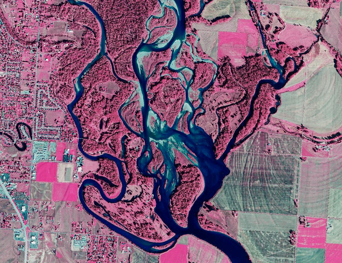
Survey map of the Flathead NIR Project.
Every experienced GIS professional started somewhere.
For students curious about GIS careers, a GIS or environmental consulting internship can offer an opportunity to take what you learn in the classroom and see how those skills translate to real project work. It is also a chance to learn from experienced professionals, ask questions, make connections, and discover what areas of the field interest you most.
You don’t need to have your entire career mapped out before you begin.
An interest in cartography might grow into spatial analysis. Environmental science could lead you toward natural resources. Technology might spark an interest in web-based GIS, modeling, drones, or data visualization.
Sometimes the best way to figure out where you want to go is simply to start exploring.
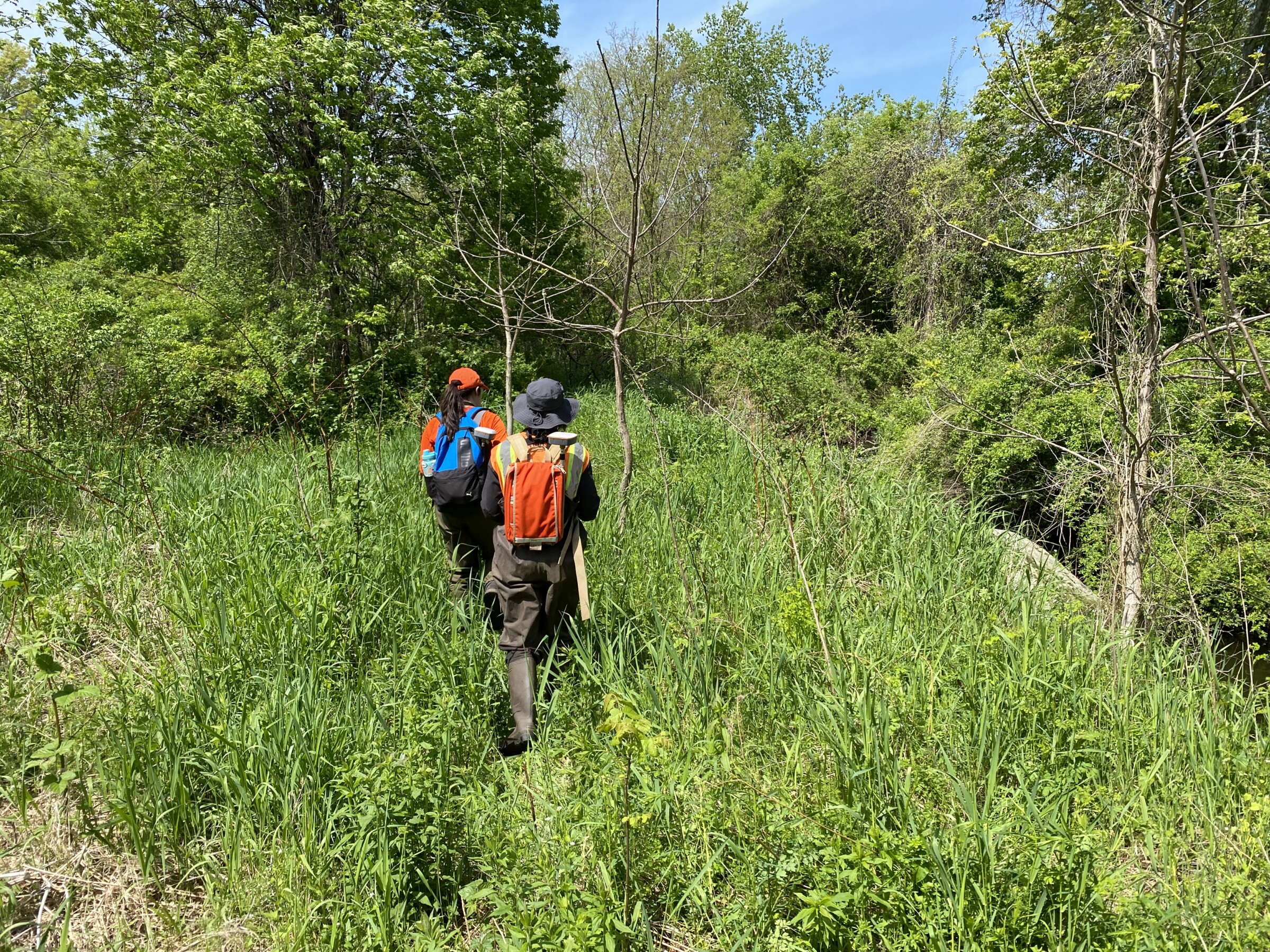
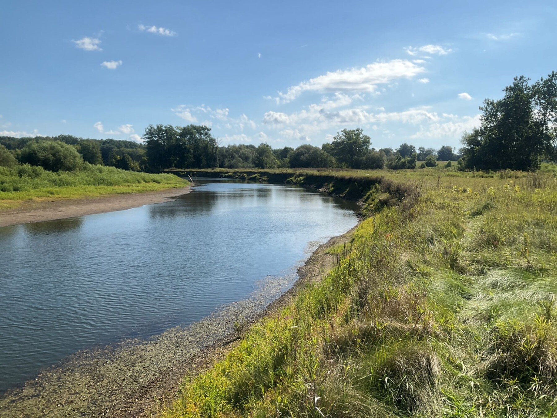
SWCA staff conducted field inspections of potential sites to determine restoration possibilities.
The career stories SWCA employees share for GIS Day highlight just a few of the possibilities within the field. More importantly, they show how different interests and experiences can lead people into geospatial work and continue shaping where their careers go next.
For SWCA employees, GIS Day is a chance to learn more about the expertise colleagues bring to projects across the company.
For students and prospective candidates, consider it an invitation to start exploring your own possibilities.
Explore SWCA internships and career opportunities and find a place to begin your journey with SWCA.
See Beyond Policy Change to What Matters for Your Project
Regulatory Radar is a subscription intelligence service that scans the policy horizon for changes that could affect planning, permitting, schedules, and risk, then turns those signals into clear takeaways and practical next steps.