
2025
Comparably’s Best Company Outlook
* Providing engineering services in these locations through SWCA Environmental Consulting & Engineering, Inc., an affiliate of SWCA.

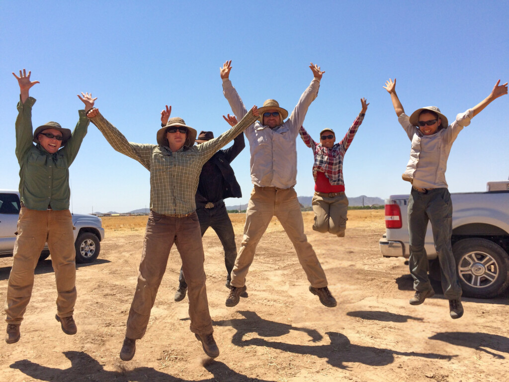
From the experts we hire, to the clients we partner with, our greatest opportunity for success lies in our ability to bring the best team together for every project.
That’s why:
At SWCA, sustainability means balancing humanity’s social, economic, and environmental needs to provide a healthy planet for future generations.
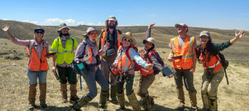
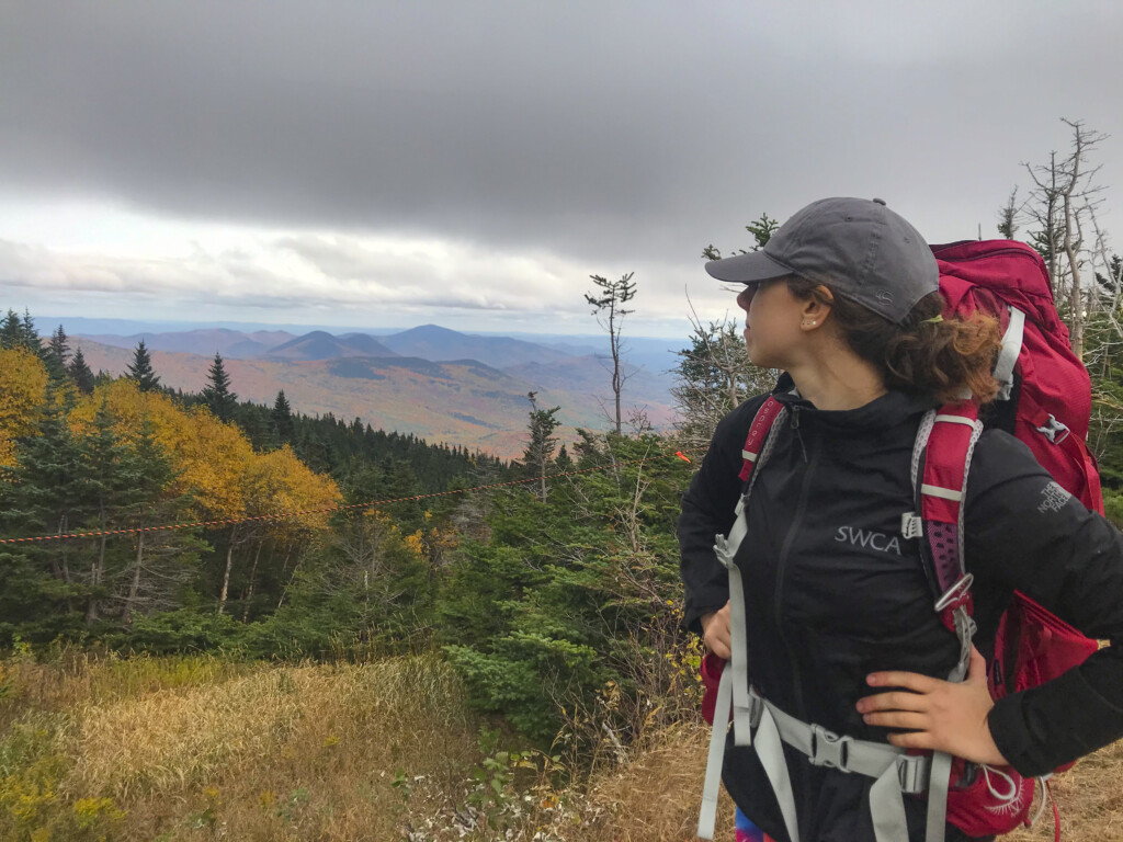
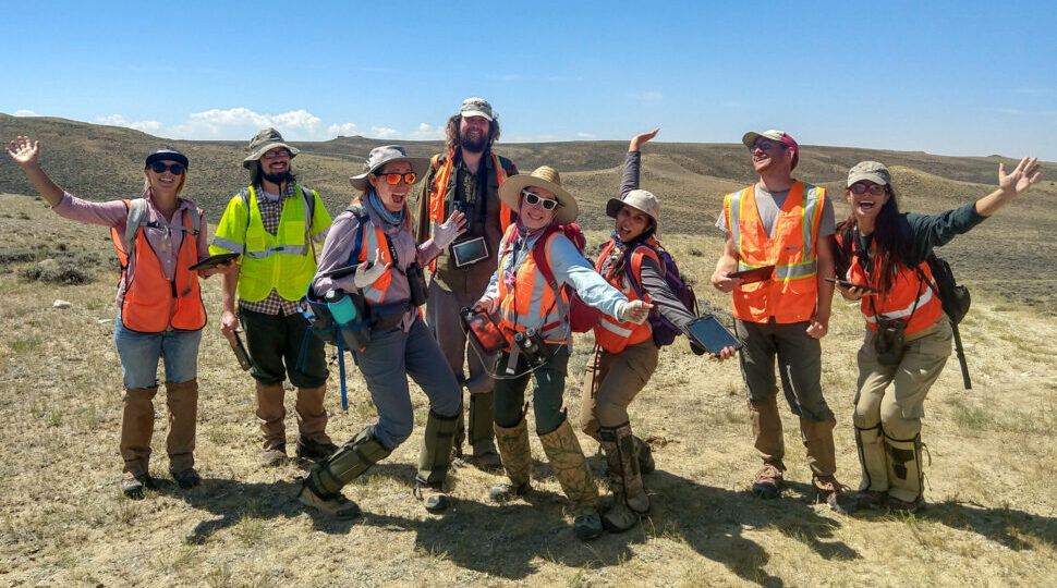
SWCA employs smart, talented, problem-solvers dedicated to our purpose of preserving natural and cultural resources for tomorrow while enabling projects that benefit people today.

At SWCA, you’re not just an employee. You’re an owner. Everyone you work with has a stake in your success, so your hard work pays off – for the clients, for the company, and for your retirement goals.
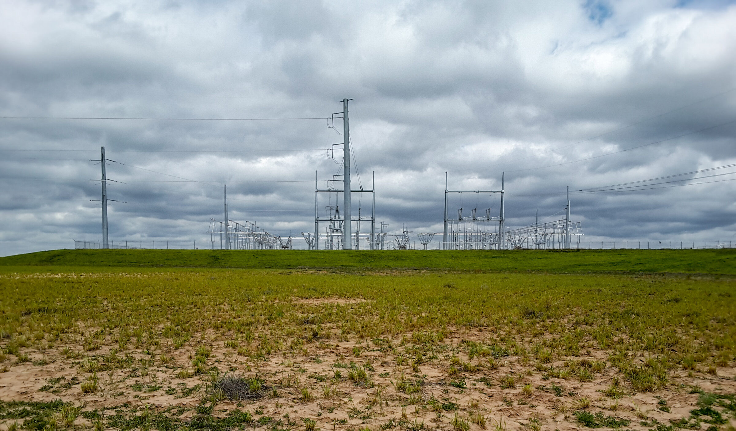

Plains and Eastern Clean Line Master Service Agreement
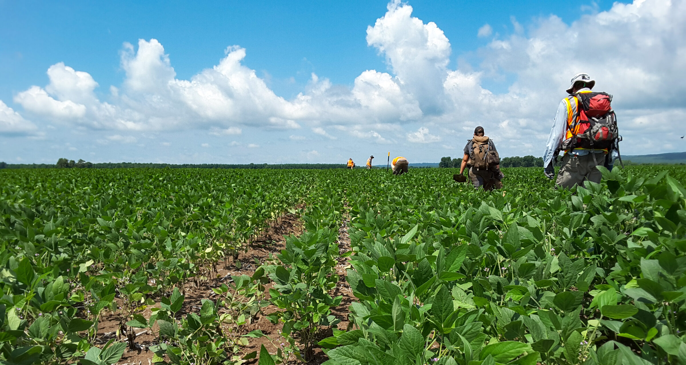
SWCA provided cultural and natural resources surveys and documentation for the proposed 722-mile-long Plains and Eastern Clean Line Transmission Line in 2016–2017.
For questions or further information, please fill out the form below.
SWCA provided cultural and natural resources surveys and documentation for the proposed 722-mile-long Plains and Eastern Clean Line Transmission Line in 2016–2017. Prior to field mobilization, GIS staff digitized historic aerial photographs spanning from the late 1930s to current, 7.5-minute U.S. Geological Survey topographic maps, GLO maps, Tribal allotment maps/records, county maps, data sets on standing structures, and previously surveyed structures; this data was then thoroughly analyzed by architectural history staff. Comparing the historic data with modern aerial imagery, and incorporating established state historic context data, architectural historians identified structures likely no longer extant and areas likely to have high concentrations of historic structures for possible district designation.
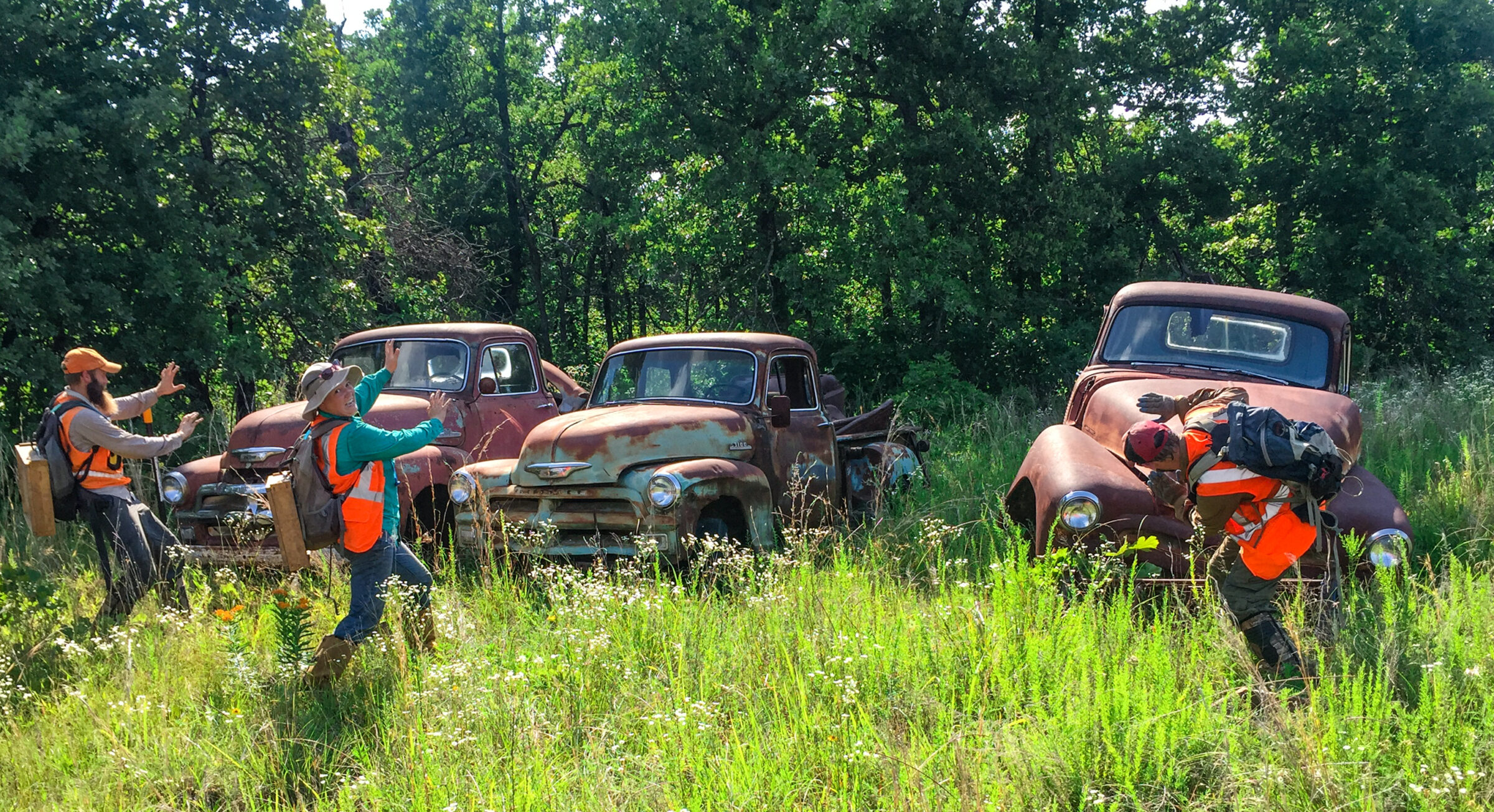
The preliminary review focused on the buildings, structures, objects, sites, and/or districts within the APE for indirect effects that were constructed 45 years prior to the current Project survey period. Clean Line and SWCA incorporated any identified above-ground resources (whether historic or non-historic) into GIS layers for further assessment and plotted these resources on project maps to guide field identification efforts. Part of the cultural investigation included a reconnaissance survey of structures, inventorying at a minimum of the full transmission line ROW footprint plus 0.5 mile beyond (or to the visual horizon, if closer) for which setting, feeling, and/or association were qualifying characteristics of NRHP eligibility had the potential to be present. Crews systematically traveled all public ROWs within the direct and indirect APE, documenting approximately 5,600 structures in the project area through all three states. Architectural historians documented each resource or resource group using a project-specific digital historic resource survey form, recording detailed information about general characteristics, the presence of any outbuildings, stylistic influences, landscape, and structural details such as roof form, materials and plan, if possible. The surveyors also recorded addresses as accurately as possible, either from neighboring properties or an approximate distance from cross streets or intersections, if a street number was not visible. Surveyors photographed each of the identified resources, including associated outbuildings, structures, and objects related to each property.
Where access allowed, all photographs clearly depicted architectural, engineering, and other details relevant to an evaluation of the resource’s character-defining details. Architectural historians then analyzed the field data to determine potential NRHP eligibility and to determine the extent that the alteration of the viewshed would have on that eligibility.