
2025
Comparably’s Best Company Outlook
* Providing engineering services in these locations through SWCA Environmental Consulting & Engineering, Inc., an affiliate of SWCA.

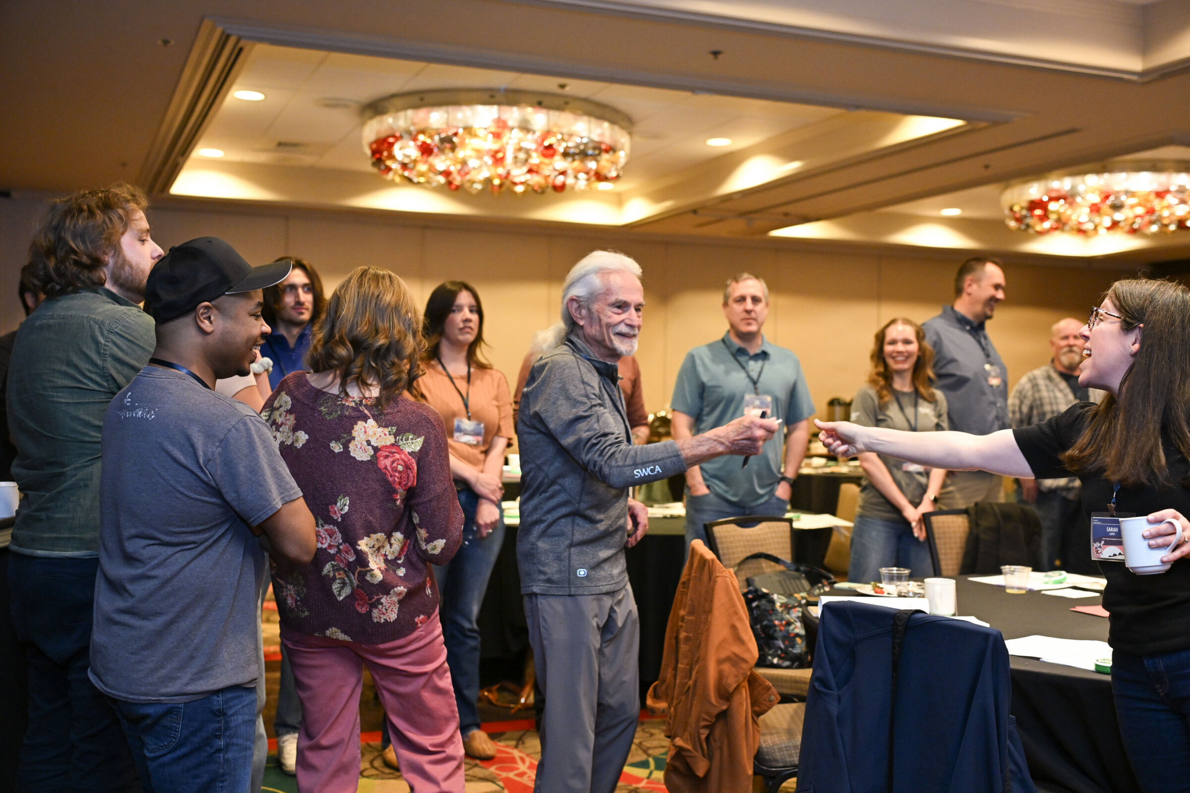
From the experts we hire, to the clients we partner with, our greatest opportunity for success lies in our ability to bring the best team together for every project.
That’s why:
At SWCA, sustainability means balancing humanity’s social, economic, and environmental needs to provide a healthy planet for future generations.
SWCA employs smart, talented, problem-solvers dedicated to our purpose of preserving natural and cultural resources for tomorrow while enabling projects that benefit people today.

At SWCA, you’re not just an employee. You’re an owner. Everyone you work with has a stake in your success, so your hard work pays off – for the clients, for the company, and for your retirement goals.
Powering Possibility: How GIS Shapes the Future of Transmission Planning
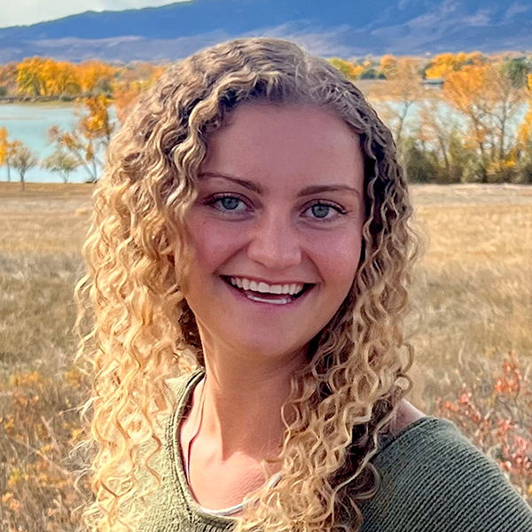
Siena joined SWCA in 2021, helping bring the company’s voice to life through thoughtful, creative content as a Marketing Content Developer. She collaborates with teams across the world to turn big ideas into clear, engaging stories for social media, the web, and beyond. Whether she’s writing a headline or planning a campaign, she keeps environmental insight and integrity at the center of every piece—one carefully-crafted pun at a time.

 GIS is more than a tool for visualization—it’s a decision engine for building the energy future. Across the country, new transmission lines are needed to connect renewable power to homes, businesses, and communities. Designing those routes requires not just technical precision, but also a deep understanding of landscapes, regulations, and the people who live along the way.
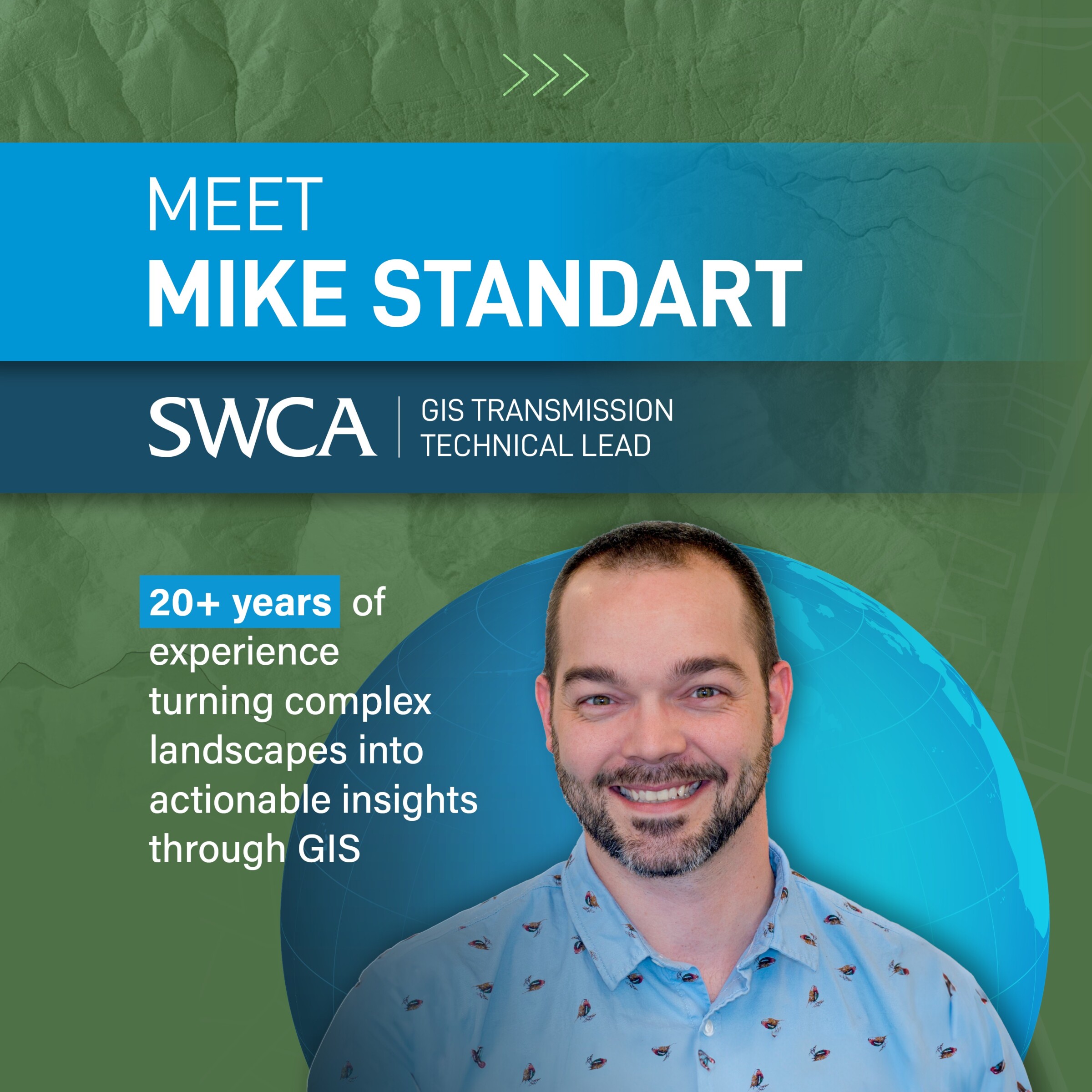
That’s where Mike Standart, SWCA’s GIS Transmission Technical Lead comes in. With a background that blends cartography, data science, and environmental planning, Mike helps clients navigate the complex process of siting transmission lines responsibly, balancing environmental protection, engineering feasibility, and public engagement.
“Transmission routing is an incredibly intricate puzzle,” Mike explains. “There are hundreds of factors to weigh, from topography to cultural resources to private land and more. GIS allows us to see all those constraints in one space so we can make truly informed decisions.”
Transmission planning begins long before a line is ever drawn on a map. Mike’s team starts by gathering and curating data layers from federal, state, and local sources—everything from land ownership parcels and slope gradients to wetlands, floodplains, and threatened species habitats. They then standardize these datasets into a consistent geospatial framework, ensuring every variable aligns across jurisdictions and projection systems.
From there, they use multi-criteria decision analysis to model route suitability, applying weighted overlays that balance environmental, engineering, and socioeconomic factors. Each layer tells part of the story, and it’s Mike’s job to interpret how they work together in the real world.
“The story the data tells is what matters most,” Mike says. “Our job is to translate complex layers into something that project managers, engineers, and community members can grasp—because the best route isn’t just the shortest one. It’s the one that works for everyone.”
That storytelling aspect is what turns GIS from a static map into a dynamic planning tool. Mike’s team builds interactive dashboards and 3D web maps that let stakeholders explore scenarios, adjust priorities, and visualize trade-offs in real time, transforming data into a shared understanding of the landscape.

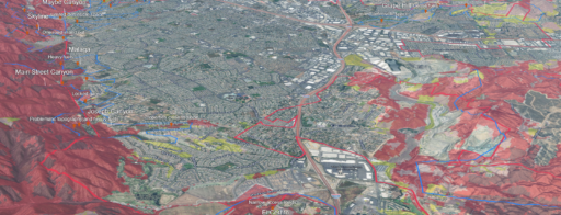
Conceptual connections for proposed transmission line improvements within the project study area
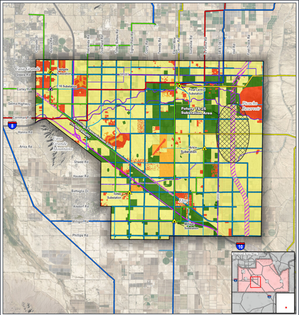
Overall opportunities and constraints visualized and later used to create proposed routes.
Once initial corridors are identified, Mike’s work becomes more iterative by testing and refining alternatives based on field data, engineering feedback, and regulatory considerations. His team develops constraint maps that overlay environmental sensitivities, technical feasibility, and constructability. Using proximity analysis and cost-distance modeling, they can identify where routes might conflict with steep slopes, wetland buffers, or cultural resource sites, and where micro-adjustments can reduce potential impacts.
The result is a GIS-driven workflow that integrates seamlessly with engineering design and permitting. “When you can see the constraints side by side—the wetlands, the eagle nests, the slope—you’re not just checking boxes,” Mike says. “You’re understanding the landscape as a whole, and that leads to better design, fewer impacts, and stronger outcomes.”
Collaboration is central to that process. Mike works closely with planners, biologists, and cultural resource specialists to develop each map with on-the-ground reality. Together, they evaluate corridor alignments, using GIS as a visual decision platform that helps teams weigh trade-offs and identify optimal solutions early in the process.
Through this approach, GIS guides routing and siting studies provide a defensible, data-driven foundation that meets both regulatory and community expectations.
As the nation’s grid expands and modernizes to accommodate growing energy demand, GIS technology is evolving just as quickly. Mike’s team is leveraging machine learning tools and automated suitability modeling to streamline early corridor screening, dramatically reducing the time it takes to generate and compare routing scenarios.
They’re also experimenting with 3D modeling and LiDAR integration to assess topographic challenges and visualize line-of-sight impacts. These tools help engineers and environmental specialists anticipate construction complexities before design begins.
“We’re getting closer to real-time decision-making,” Mike notes. “With modern GIS, we can model alternatives and visualize the effects instantly. That means clients can see trade-offs early, communities can understand options, and projects can move forward more efficiently and transparently.”
For Mike, these advances are about efficiency, but even more so, building trust. Transparent, data-rich visuals help demystify the routing and siting process for clients, regulators, and the public alike. And as energy infrastructure continues to evolve, GIS will remain the bridge connecting data, disciplines, and people.
To learn more about GIS Services and careers at SWCA, contact Jayme Fontenot.
To learn more about Transmission services, including routing and siting at SWCA, contact Jon Schultis.