

2026
Comparably’s Best Company Outlook
* Providing engineering services in these locations through SWCA Environmental Consulting & Engineering, Inc., an affiliate of SWCA.

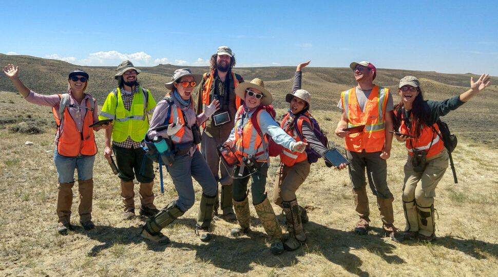
From the experts we hire, to the clients we partner with, our greatest opportunity for success lies in our ability to bring the best team together for every project.
That’s why:

At SWCA, sustainability means balancing humanity’s social, economic, and environmental needs to provide a healthy planet for future generations.
SWCA employs smart, talented, problem-solvers dedicated to our purpose of preserving natural and cultural resources for tomorrow while enabling projects that benefit people today.

At SWCA, you’re not just an employee. You’re an owner. Everyone you work with has a stake in your success, so your hard work pays off – for the clients, for the company, and for your retirement goals.
Wildfire-Resilient Communities and Forests: GIS Consultants and Multidisciplinary Team Support Fuel-Break Project
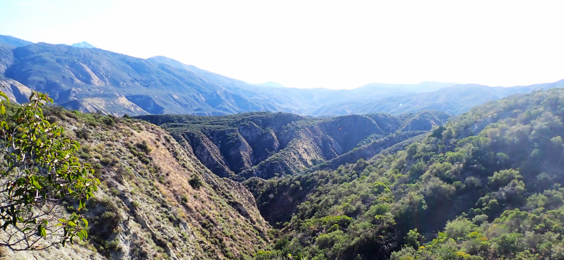
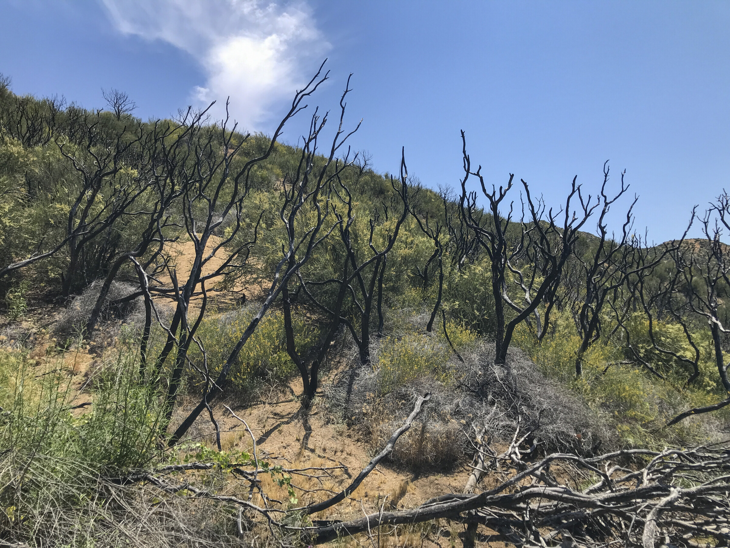
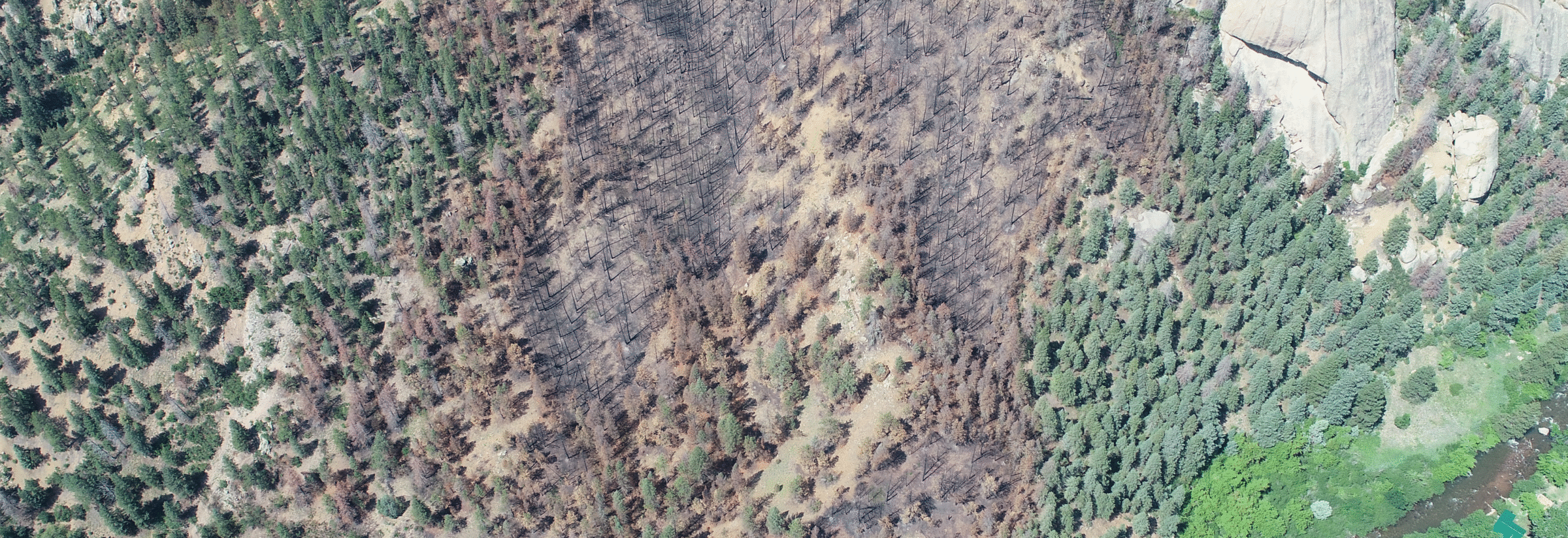
Stretching from desert floors to crisp, alpine peaks, San Bernardino National Forest (SBNF) connects millions of visitors to outdoor recreation and natural beauty each year. Historically one of the most wildfire-prone forests in the country, a century of changing land uses, fire exclusion, and growing climate stressors have increased fuel loads, making the forest denser and less fire-resilient than in the past.
With the support of the Inland Empire Resource Conservation District (IERCD), the United States Forest Service (USFS) is developing a plan to create 24,238 acres of linear fuel breaks across SBNF. This planning effort is jointly funded by the IERCD’s Regional Forest and Fire Capacity Program and the National Forest Foundation. The IERCD serves as a regional steward and administers complex wildfire grants, including the Regional Forest and Fire Capacity Program focused on project planning and local capacity building to facilitate effective on-the-ground implementation. Through this role, IERCD aligns State and federal forest health and wildfire funding to deliver sustained wildfire resilience. Using a variety of mitigation techniques—forest thinning, hazardous tree removal, prescribed burns, and more—SBNF’s plan will create a more resilient forest while helping to reduce the risk of catastrophic wildfire to adjacent communities.
Riparian habitat
“San Bernardino National Forest is crisscrossed with sensitive areas. It contains the habitats of threatened and endangered species, diverse vegetation communities, essential hydrological features, and hundreds of culturally significant sites dating from before and after the arrival of European colonizers” says Liz Denniston, senior project manager at SWCA Environmental Consultants.
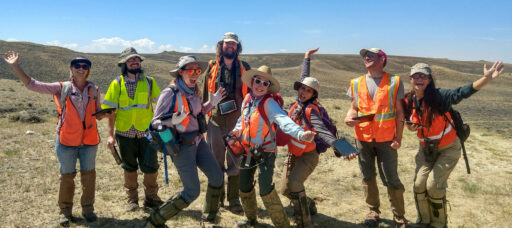
Fortunately, SWCA has expert biologists, archeologists, GIS Consultants (Geographic Information Systems), environmental planners, hydrologists, fire ecologists, and more, so the firm was in a good position to support the USFS’s effort to understand and mitigate any unintended consequences of the fuel break. Close collaboration with the USFS and IERCD made planning 24,000 acres of linear fuel breaks possible.
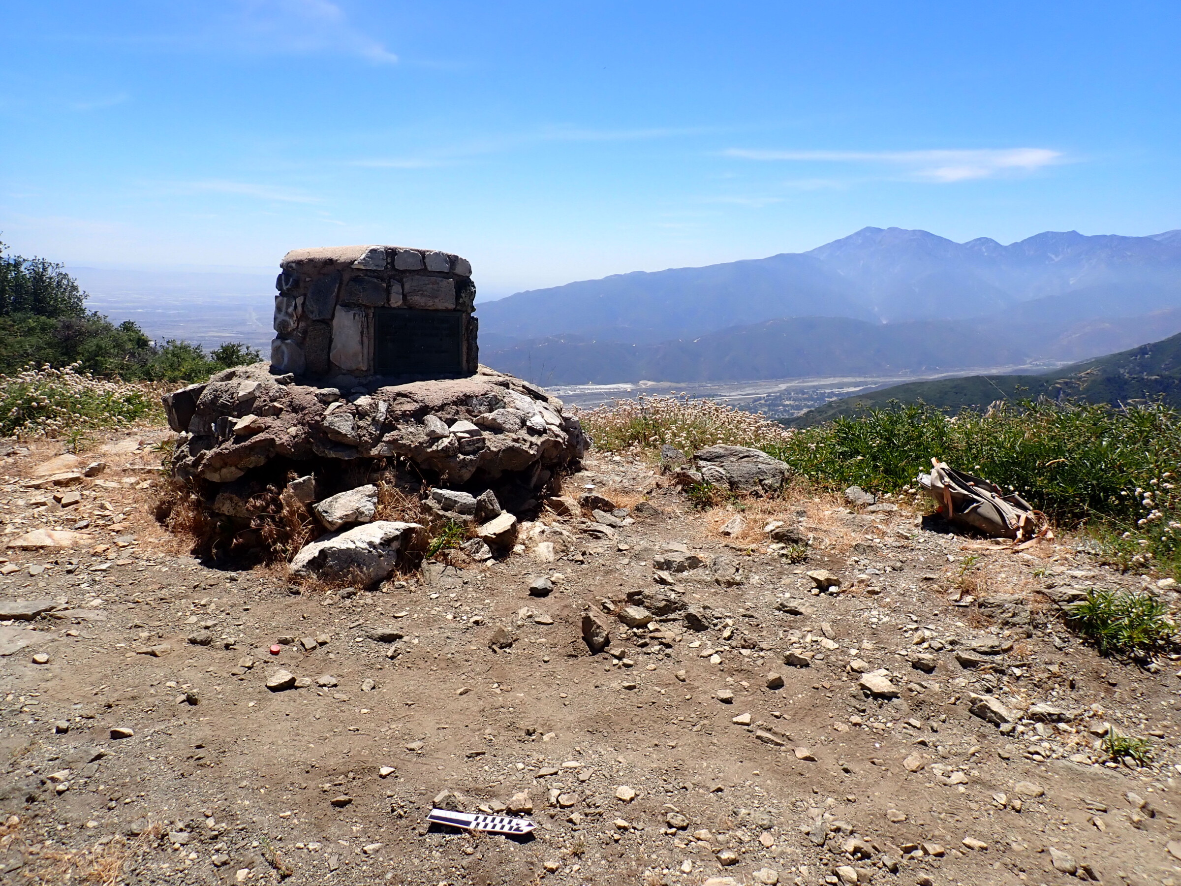
Historic-era feature
SWCA’s GIS Consultants played a critical role in setting the project up for success. This team received, standardized, and compiled nearly 130 layers of GIS data that documented the area’s fuel loads as well as its biological, cultural, and hydrological resources. They also digitized approximately 1,000 cultural resources records to conform to the Forest Service’s standards.
“This was a massive effort from the GIS team,” Denniston says. “We were given a ton of data, but a lot of work went into standardizing it for both our purposes and the Forest Service’s.”
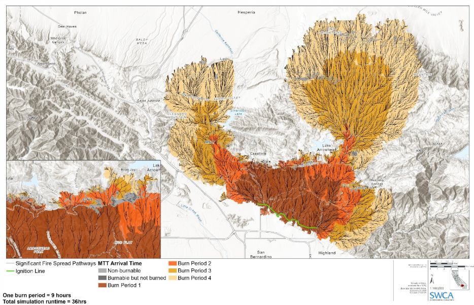
Wildfire Scenario Modeling results showing arrival times and significant spread pathways of wildfire modeled under extreme conditions near San Bernardino, California
Building on this work, SWCA’s vegetation and fuels team partnered with the Forest Service to detail existing and desired conditions of vegetation and wildfire behavior around the proposed fuel break.
Beyond documenting current conditions, the team also used advanced wildfire modeling to explore how potential wildfires could affect nearby communities such as Big Bear Lake and Lake Arrowhead. The model brought together information on vegetation, topography, weather, wind, historic fire activity, and infrastructure to simulate wildfire behavior across the landscape. This helped the team understand the likely speed, direction, and intensity of wildfires while also showing how the fuel breaks could create opportunities to slow fire spread, support firefighting efforts, and reduce risks to communities and forest resources.
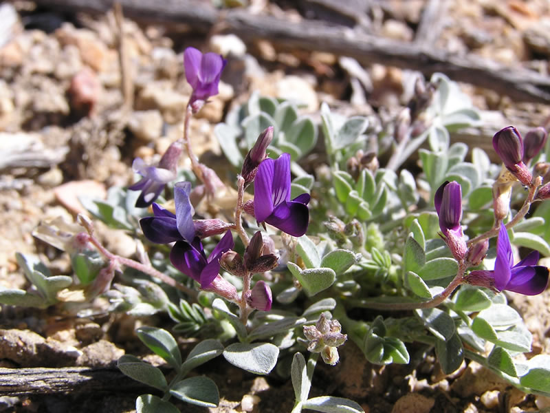
Endangered Coachella Valley milk vetch

Endangered Quino checkerspot butterfly
The GIS layers also provided the foundation from which SWCA’s other specialists worked. This enabled experienced biologists to analyze where and how the proposed fuel break would intersect with SBNF’s diverse vegetation communities, including possible habitats of 30 federally threatened or endangered species.
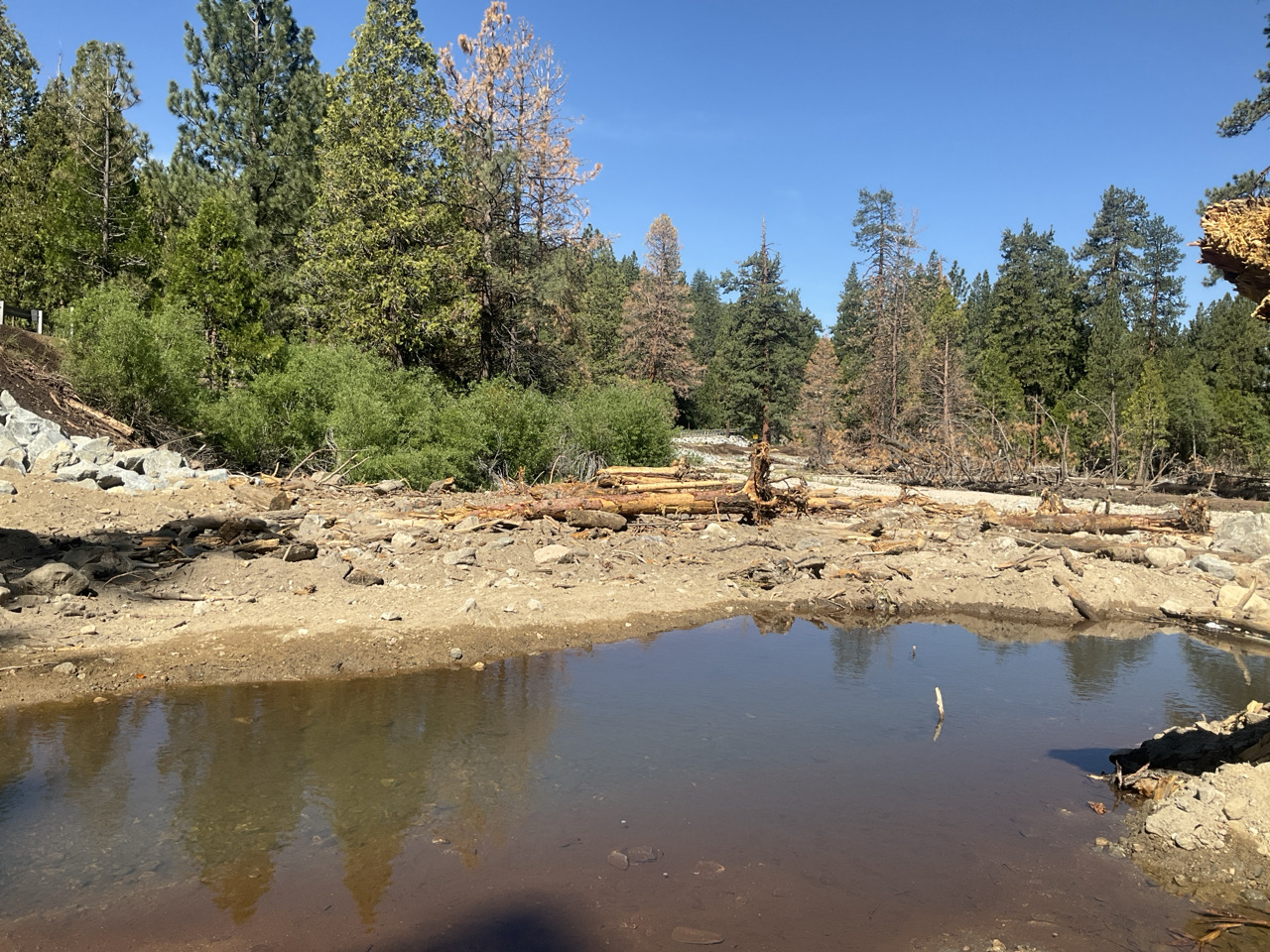
After confirming some of its details with field observation, the hydrology team used the GIS layers to develop an understanding of the fuel break’s possible effect on the flow of water across the project sites. Understanding that the project area’s steep hillsides created a high risk of erosion, the hydrology team made targeted adjustments to fuel treatments to decrease that risk. Field crews also evaluated riparian corridors to identify the most optimal locations for fuel treatments to maintain riverine function.
The cultural resources team also used the GIS map which included existing data provided by the USFS archaeologist as a starting point. But they supplemented the data with additional research at the California Historical Resources Information System’s local repositories for cultural resource records and previously conducted studies. In consultation with USFS, they identified approximately 11,000 acres that had either not been previously surveyed or had inadequate or outdated coverage.
“These 11,000 acres required a Class III survey,” says SWCA Senior Cultural Resources Team Lead, Robbie Thomas. “The survey was challenging with steep slopes, dense vegetation, safety concerns (recreational shooting), ticks, rattlesnakes, rough roads, extreme weather conditions (snow, rain, sleet, heat), access issues, and more.” The fieldwork lasted five months with crews working 10-day rotations back-to-back. In all, 237 cultural resources were identified within the Class III Area of Potential Effects, including 134 previously recorded resources, 26 newly identified sites, six newly identified isolated finds, and 71 newly identified historic-era built environment resources.
In addition to supporting compliance with the National Environmental Policy Act (NEPA), the National Historic Preservation Act (NHPA), and other relevant regulations, each discipline offered design guidance that will enable USFS to implement the fuel break safely and effectively.
The creation of the fuel breaks in the coming years aims to improve the safety of the communities within and around the national forest. It will also help improve the health of the forest’s many vegetation communities, reducing their density and fuel loads, removing invasive species, allowing the return of contained natural burns, and enabling the forest to reapproach its historic composition.