
2025
Comparably’s Best Company Outlook
* Providing engineering services in these locations through SWCA Environmental Consulting & Engineering, Inc., an affiliate of SWCA.

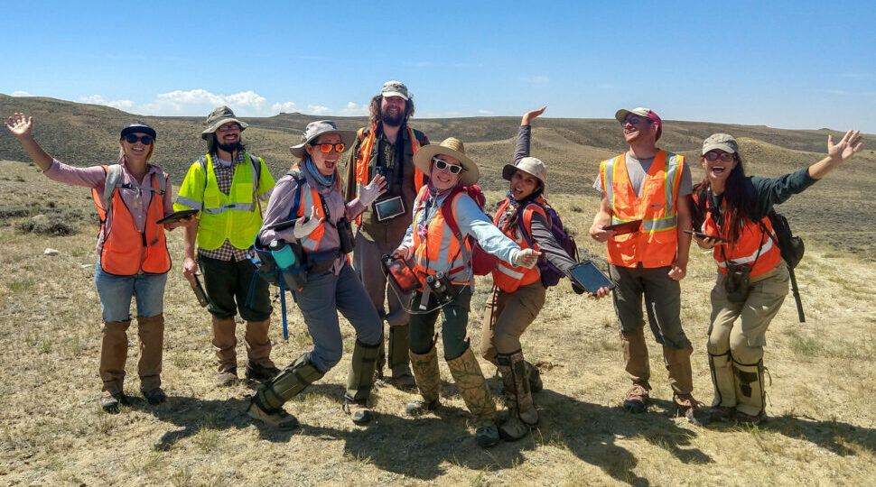
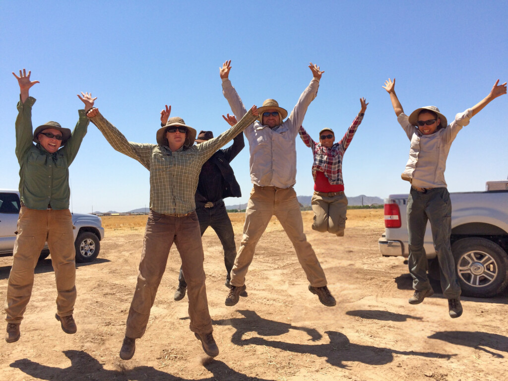
From the experts we hire, to the clients we partner with, our greatest opportunity for success lies in our ability to bring the best team together for every project.
That’s why:
At SWCA, sustainability means balancing humanity’s social, economic, and environmental needs to provide a healthy planet for future generations.
SWCA employs smart, talented, problem-solvers dedicated to our purpose of preserving natural and cultural resources for tomorrow while enabling projects that benefit people today.

At SWCA, you’re not just an employee. You’re an owner. Everyone you work with has a stake in your success, so your hard work pays off – for the clients, for the company, and for your retirement goals.
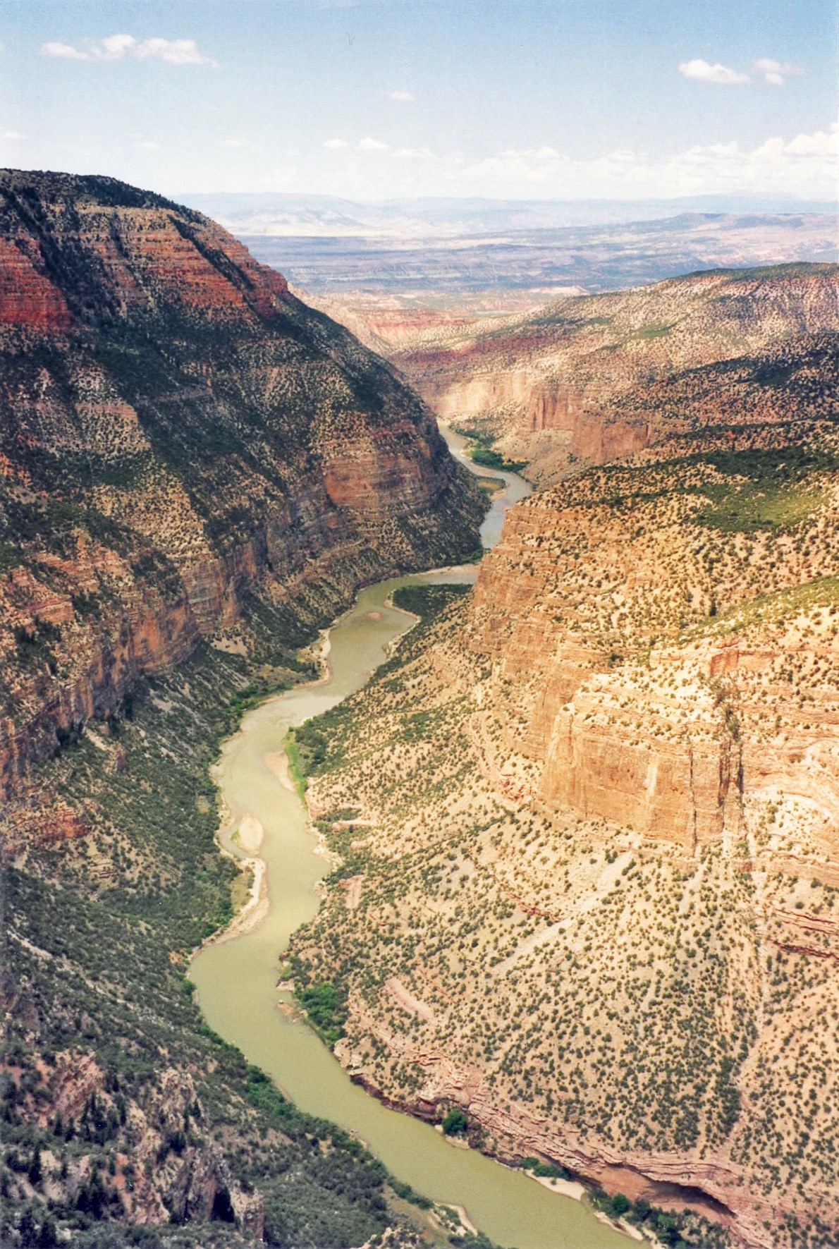
A Tale of Two Rivers
Rivers are the arteries of our earth’s landscape. Nothing matches a river’s abilities to connect our places and spaces and sustain life in, alongside, and even miles away from its course.
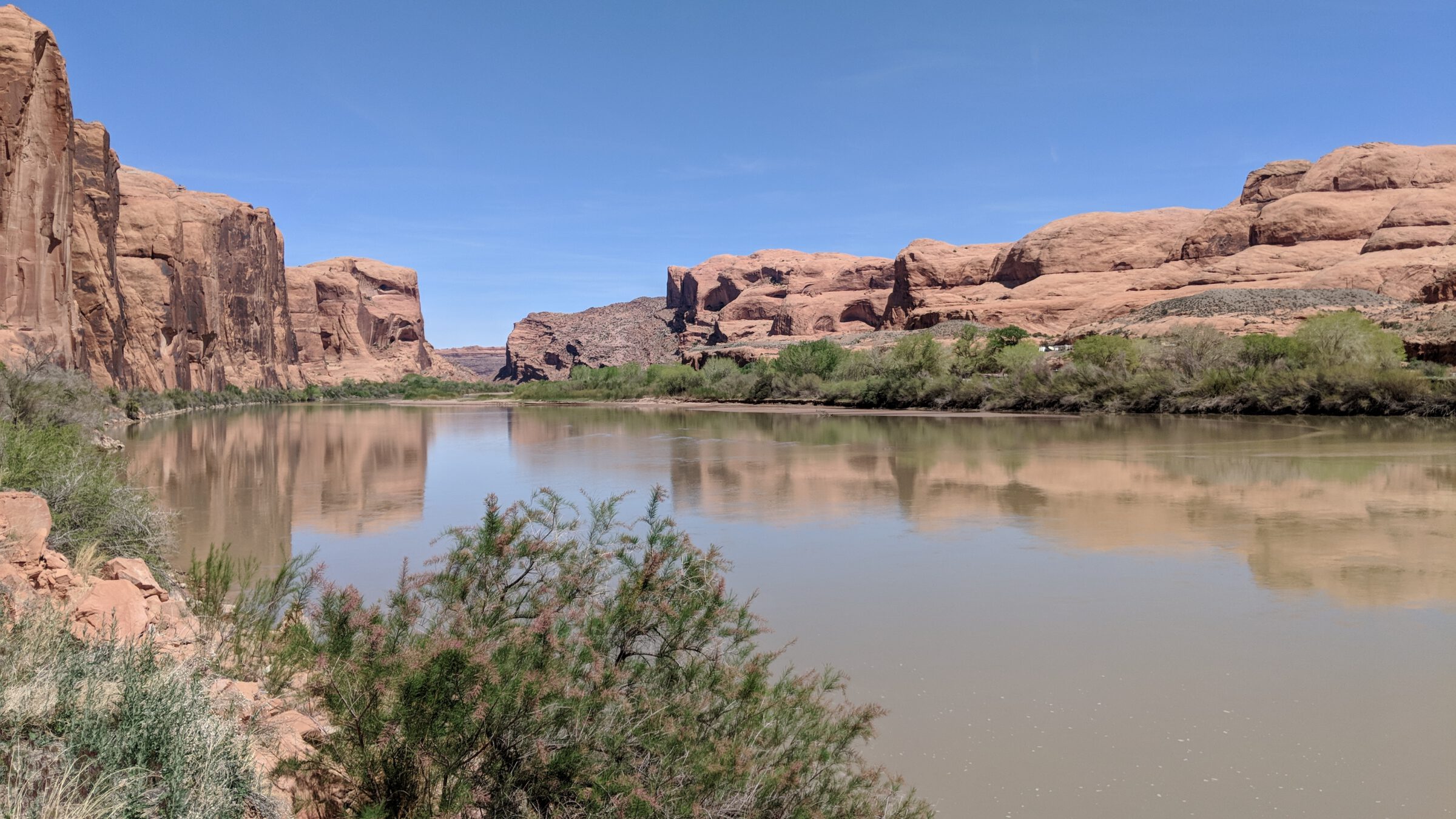
The Green River in eastern Utah
Rivers are the arteries of our earth’s landscape. Nothing matches a river’s abilities to connect our places and spaces and sustain life in, alongside, and even miles away from its course. A river will travel along the path of least resistance, beginning at a high point known as the headwater and ending at its mouth. Depending on its elevation, age, geology, and other factors, a river can make a mad dash through the landscape leaving behind canyons and waterfalls, or it may saunter across the land creating wide floodplains and marshes along its edges.
How do we manage rivers as functioning, sustainable ecosystems while still supporting human needs? It’s a complicated question without easy answers. One approach is to develop comprehensive management plans (CMPs) that guide land managers and the public. SWCA recently had the opportunity to develop CMPs for segments of two of the West’s most important rivers—the Green and the Colorado.
The Utah Division of Forestry, Fire & State Lands (FFSL) approached SWCA with a challenge: How could FFSL balance the protection of Public Trust resources (navigation, fish and wildlife habitat, aquatic beauty, public recreation, and water quality) with the proposed human uses of the Green and Colorado Rivers?
To address this challenge, FFSL trusted SWCA to develop Utah’s first-ever CMPs for sovereign land segments of these two essential waterways. The CMPs would describe the existing condition of the rivers’ resources and provide a management framework to help the agency fulfill its responsibilities. In addition, the CMPs would provide consistent, clear permitting processes and requirements and outline best management practices for implementing any authorized projects.
Developing the CMPs required an extensive outreach process that involved multiple stakeholder groups including agricultural interests
Because the Green River is a tributary to the Colorado River and part of the larger Colorado River system, FFSL initially envisioned a combined CMP for both rivers. However, after SWCA was awarded the contract for the combined CMP and began project discussions with FFSL, the need for two CMPs became clear because of the different management concerns and objectives for each river.
Because segments of the Green and Colorado Rivers were navigable at statehood in 1896, the State of Utah, through the Equal Footing doctrine, claims fee title ownership of the bed and banks of those river segments. The Utah State Legislature defines sovereign land as “those lands lying below the ordinary high water mark of navigable bodies of water at the date of statehood and owned by the state by virtue of its sovereignty” (Utah Code 65A-1-1). The Utah State Legislature has designated FFSL as the executive authority for the management of sovereign lands in Utah, including the Green and Colorado Rivers. FFSL has direct management jurisdiction over lands lying below the ordinary high water mark of navigable bodies of water at statehood. Because the precise location of the ordinary high water mark at the time of statehood is not known for all of the Green and Colorado river segments, FFSL generally manages the river from the top of one bank to the top of the opposite bank.
FFSL administers sovereign lands using multiple use, sustained yield principles. Implementation of multiple use policies must avoid substantial impairment of Public Trust resources. As a trustee, FFSL must also strive for an appropriate balance among compatible and competing uses on the Green and Colorado Rivers.
FFSL recognizes the importance of the Green and Colorado River ecosystems and their natural, cultural, recreational, agricultural, and aesthetic amenities, including those resource values and uses that extend beyond the river banks and that affect or are affected by actions on sovereign lands. Accordingly, FFSL considered it imperative that management of the rivers include coordination and cooperation in planning and actions with other agencies that have jurisdictional and management responsibility over river resources.
SWCA’s desire to contribute to the success of the Green and Colorado Rivers CMPs runs deep. The roots of SWCA were nurtured on the Colorado River. In so many ways, the foundation of our company culture and guiding principles—sound science, talented people, integrity—originate from the experiences founder Steven Carothers and former Chief Executive Officer John Thomas acquired while plying their trades decades ago, Steve as a leading scientist working on the Glen Canyon Dam environmental impact statement and John as a Westwater Canyon river ranger.
Many of SWCA’s Salt Lake City–based staff also have strong personal connections with these majestic rivers. We have boated Desolation and Cataract Canyons, we have wandered in and out of the nooks and crannies of Lake Powell, and we have grown up on the beaches and boat ramps that line the banks of both rivers. We understand their vital importance to local communities from Jensen, located near the spot where the Green River enters Utah, to world-famous Moab, through which the Colorado flows on its way to Arizona and beyond.
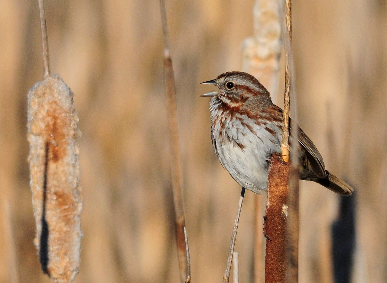
Song sparrow (Melospiza melodia)
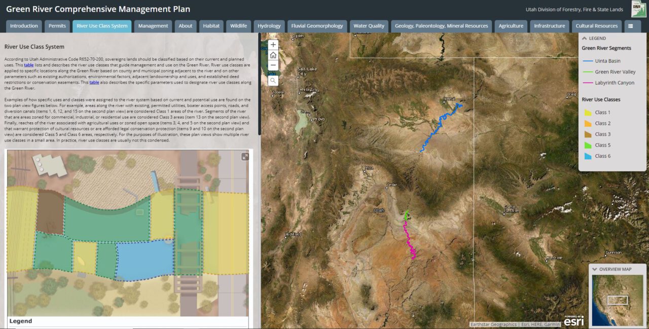
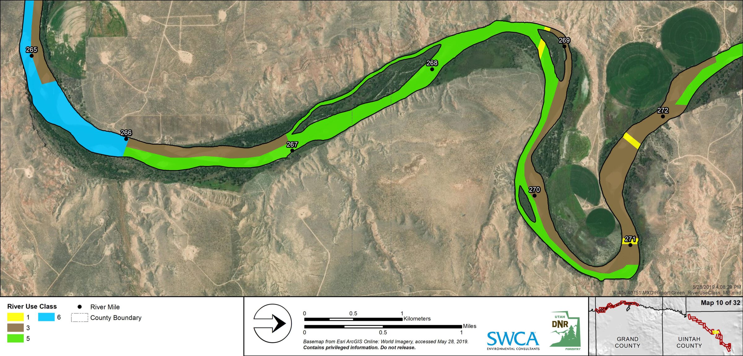
The CMPs present existing information, current scientific studies, available land use data, and management goals and objectives in reader-friendly text and illustrations. FFSL classifies sovereign lands based on use classes provided in Utah Administrative Code R652-70-200. SWCA worked closely with FFSL to review each river and assign use classes to help guide decision-making. Use class maps can be viewed in more detail in a GIS data viewer. A proposed action matrix shows common activities that require FFSL authorization and in which use class those activities are allowable, potentially allowable, or not allowable.
The complete CMP package includes interactive Esri Story Maps and an innovative GIS data viewer for the public. Many of today’s readers prefer not to page through a plan, even one with navigation links. These readers can see and explore each river via an interactive Esri Story Map organized with tabs that align with the CMPs’ content, sidebars with text and graphics depicting resource information and management goals and objectives, and related data layers. Users can turn certain data layers on and off and see the resources that matter to them. A municipality, for example, can combine authorization locations with river use classes to plan a utility crossing. Boaters can layer access locations and navigational hazards to prepare for a float trip. Researchers can select wildlife and habitat layers to understand the river’s ecology. Explore the Green River Story Map and Colorado River Story Map here.
The CMPs are essential resources for FFSL and river stakeholders in daily operations, decision-making, and future planning. Each CMP provides a one-stop shop for accessing current resource information, viewing river classifications and allowable uses, referencing management goals and objectives, and reviewing best management practices. In addition, the CMPs provide a clear picture of FFSL’s jurisdiction and authority and how the agency’s role relates to the roles of other agencies managing the river.
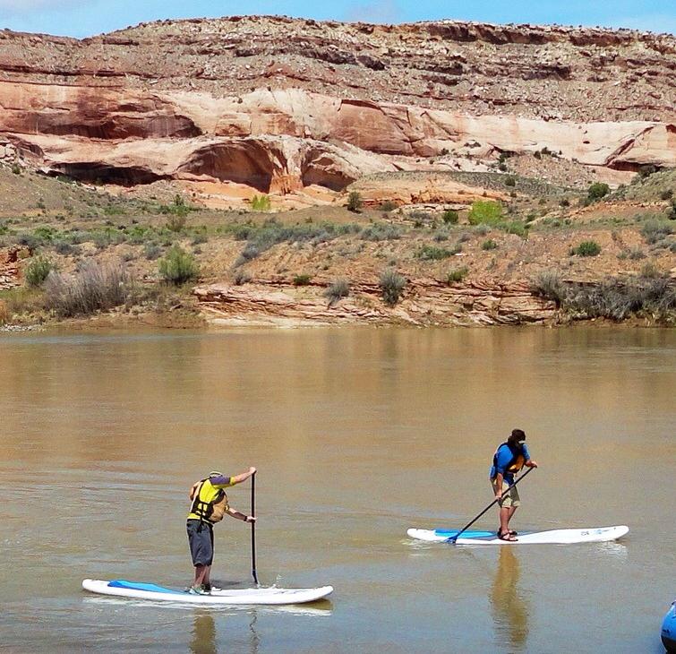
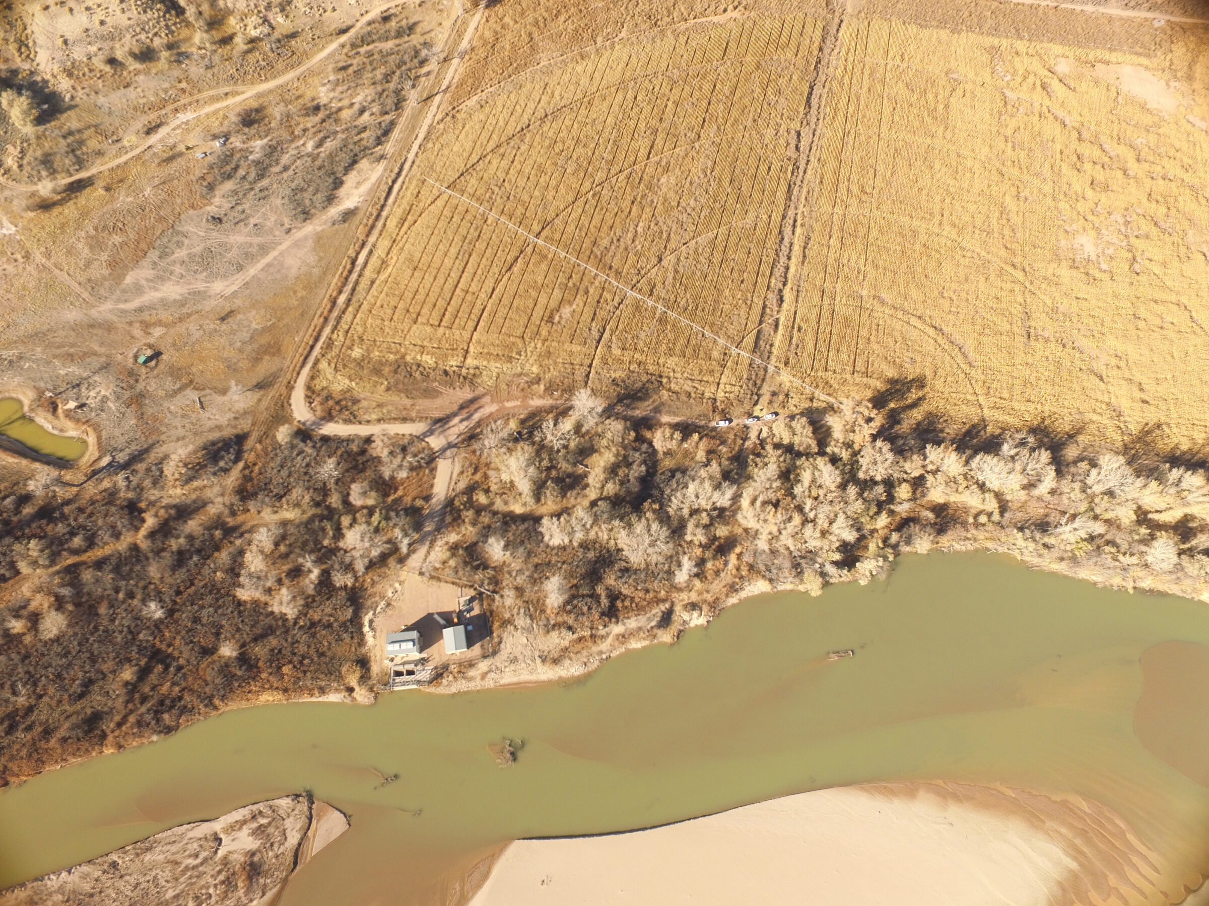
Paddle boarders on the Colorado River
The CMPs’ many other benefits are as follows:
The inclusive public outreach process that drew in multiple stakeholders and management partners coupled with the thorough synthesis of the current conditions of the rivers resulted in truly comprehensive planning documents. The strategies we developed with FFSL for the management framework in both CMPs consist of goals and objectives focusing on actions and decisions within FFSL’s jurisdiction. The goals and objectives allow multiple opportunities for coordination with other Colorado and Green River management entities (e.g., 7 counties, 12 state agencies, and 6 federal agencies) while supporting human uses and working to maintain, improve, and restore the Public Trust resources. We believe the CMPs will help FFSL balance human uses with the collaborative management of both rivers as sustainable, healthy ecosystems.
Please check out the CMPs, Esri Story Maps, and GIS data viewers here:
Green River Plans | Utah DNR – FFSL (Forestry, Fire and State Lands)
Colorado River Plans | Utah DNR – FFSL (Forestry, Fire and State Lands)
Project communication occurred through multiple methods:
During the initial public outreach, we encountered some worry and frustration from stakeholders such as recreation users and farmers. In general, we found that after spending time explaining FFSL’s role, the process of developing the CMPs, and our desire to help stakeholders, people’s fears were eased.
Agencies and entities with management or jurisdictional responsibilities on the rivers were generally open to participating in the process and providing feedback.
The keys to successful project communication were consistent outreach, offering multiple ways to be involved, working to understand the issues and conflicts, listening, and being responsive.
Read more from The Wire, Vol. 22, No. 1 below: